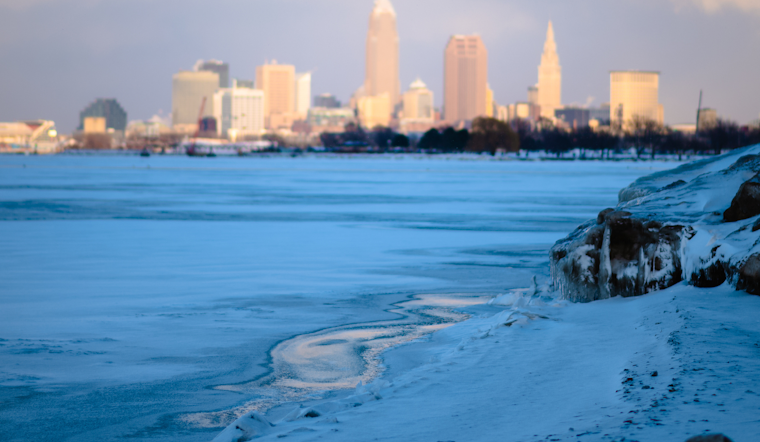
The National Weather Service in Cleveland has been watching as an Arctic cold front sweeps through the Great Lakes region, and its effects are not subtle. Forecasters have reported quick snow accumulations, notably reduced visibilities from snow storms, and even instances of thundersnow across the area. While a not-so-merry dance of inclement weather showcases its power, residents face significant temperature drops and snow-inducing squalls excited by lake effects.
As blizzard conditions barrel down, particularly in Erie County, PA, advisories have stacked up, with the NWS issuing Blizzard Warnings and Lake Effect Snow Warnings. Travelers and residents caught in these areas are experiencing 40 to 50 kt wind gusts within warning areas, an unwelcome addition to the already challenging conditions. While High pressure's promised moderation on Friday might sound like a silver lining, realities on the ground tell of a different tune, with some areas already hit hard. According to National Weather Service forecasts, "the Arctic cold front with snow squalls has exited the forecast area." Still, it left a mark on the region, with roadways blanketed in haste by snow.
Aviation has not been spared from nature's latest mood, with the NWS advising IFR and LIFR conditions at several airports due to snow and winds. This should be a cautionary tale for those planning to fly, as areas like KERI near the lakeshore expect to face visibilities that could dip to a quarter mile. The NWS even suggests that lake effect snow will try to consolidate into the eastern portion of the airspace, indicating that conditions are expected to lean towards the unpredictable.
On the aquatic front, Lake Erie is not to be boarded lightly. Gales have taken the stage for the day, and as a result, Marine conditions are confirmed to be hazardous, with Gale Warnings and Low Water Advisories in effect. With west-northwest winds howling at an intense clip, some water levels have dipped worryingly low, notably in the western basin, where navigation is now compromised. It's a clear signal that until this atmospheric tantrum passes, it's best to steer clear of the waters.
The broader outlook doesn't forecast a rapid rest from the relentless spell of winter woes. As the weekend approaches, so does more snow, a potential for localized flooding, and a procession of highs and lows that seem to relish their capricious dance across the thermometer. Residents and visitors should gear up for an extended bout with the elements and keep close tabs on updates to avoid being caught off guard by Mother Nature's next move.


.jpg)