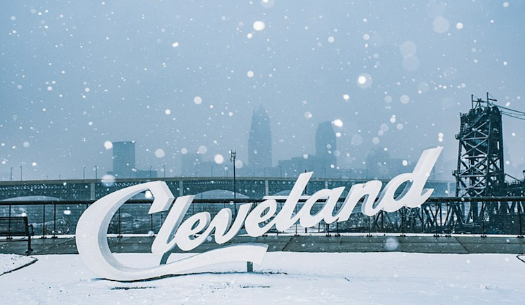
According to the National Weather Service Cleveland, Ohio, residents in Cleveland and its surrounding areas should prepare for a mixed bag of weather conditions as a low-pressure system moves across the Great Lakes. In a recent NWS forecast discussion, forecasters predicted the arrival of precipitation late today into tonight as a warm front advances northward.
While today's forecast remains consistent with earlier predictions, meteorologists have responded to advancing cloud cover and shifting hourly temperatures, as reflected in their latest update. The system, originating from Iowa and moving east-northeast across the Great Lakes, is slated to initially bring a rain/snow mix to parts of the I-75 corridor this evening, then transitioning to rain in most areas. A noted concern, however, is a dry air layer that lies beneath 800mb, a hurdle that precipitation must overcome.
For those in the Toledo and Bowling Green areas, rain and snow mix could commence between 3-6 PM before converting to rain. "The forecast calls for a brief rain/snow mix towards the I-75 corridor," the National Weather Service stated. However, locations along and to the east of I-77 might see a blend of rain and snow after sunset, with higher snowfall probabilities posited for the Youngstown area. Snow accumulations are estimated to range from about an inch in Geauga County to 1-3 inches in northwest Pennsylvania.
Looking ahead, most precipitation should cease by Tuesday morning except for potential snow showers near Lake Erie due to convergence along the lakeshore. Conditions are expected to be largely dry thereafter, with temperatures nearly slightly above average through Thursday night. According to the NWS forecast, "highs in the low to mid-40s are expected for the short term period." Over the long term, residents can anticipate primarily dry conditions through Friday into the weekend, with temperatures projected to rise into the low to mid-50s.
Aviation reports indicate VFR conditions will persist until the late afternoon when changes are expected due to incoming precipitation. Airports in the region, including CLE, may experience a mix of rain and snow, with visibility reducing to IFR conditions late into the night. A Marine forecast also suggests a Small Craft Advisory is in effect for the far eastern basin of Lake Erie later this afternoon into Tuesday morning because of the south-to-southwest winds reaching up to 30 knots.


.jpg)