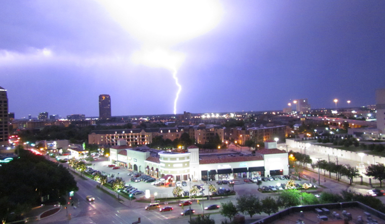
Residents in Dallas and surrounding areas should be prepared for a variety of weather conditions this week, according to the latest reports from the National Weather Service. Starting today, Dallas faces a "A chance of showers before noon, then showers likely and possibly a thunderstorm between noon and 3pm," with the likelihood of precipitation standing at 60%. The temperatures are expected to hover around 74 degrees, bringing with it fluctuating winds shifting from the south to the northeast in the afternoon, as per the National Weather Service.
Following a potentially damp Monday, the subsequent days promise a mix of conditions. The chance for showers moderately decreases tonight to 30% with an anticipated cool down to around 55 degrees. However, Tuesday's forecast brings only a slight chance of morning showers before it clears up, with "a high near 71," offering residents a brief respite before night falls and thunderstorms are likely after midnight, hinting that the city is to quickly turn back to unsettled weather, according to the National Weather Service.
Midweek, the chance for thunderstorms and showers carries on before noon on Wednesday, before the skies clear to reveal a sunny day with temperatures taking a downward turn "to around 53 by 5pm," a release from the National Weather Service informs. That clear pattern will extend into the evening, with "Clear," conditions and "a low around 37." This cooler trend persists towards the end of the week with sunny and clear skies forecasted from Thursday through Sunday.
Despite the unsettled start to the week, the Hazardous Weather Outlook for North and Central Texas notes that severe weather is not expected but a few storms may contain gusty winds and small hail on Monday and Wednesday. Though these conditions are not anticipated to be severe, they ask residents to stay aware of the potential for quickly changing weather this week.


