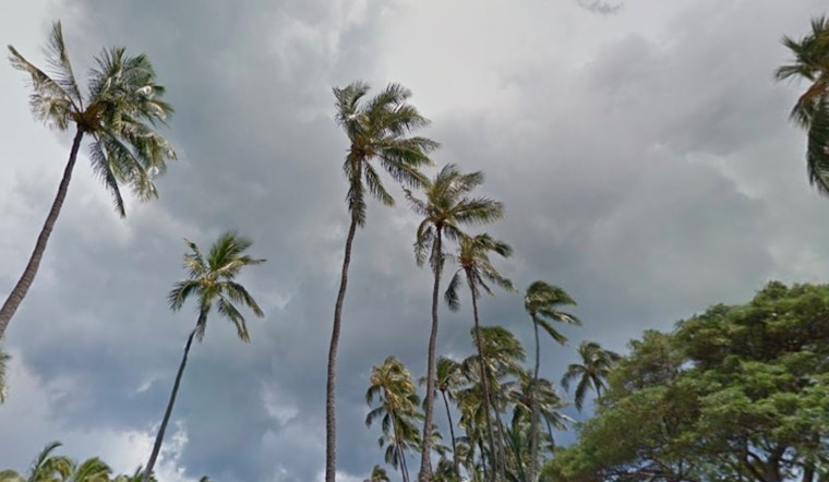
Trade winds are forecasted to remain moderate to breezy around Honolulu through the weekend, influenced by a high-pressure ridge north of Hawaii. The National Weather Service in Honolulu predicts generally dry conditions through Friday night, with a slight increase in showers as the weekend approaches. A weak disturbance aloft is expected to cause a rise in shower activity from Saturday afternoon into Sunday, especially over the windward and mountain areas of the islands.
Inversions were observed at 8,000 and 5,000 feet during early morning soundings from Hilo and Lihue, respectively. As a result, residents along the windward slopes can expect scattered showers throughout the morning. According to the National Weather Service, large-scale winds are expected to become lighter and more variable from Monday through midweek, allowing local sea breezes to dominate.
Breezy trade winds are expected to continue affecting flight conditions for the next 24 hours. The National Weather Service reports that light showers will bring some MVFR conditions (ceiling and visibility) to windward areas, particularly at night and in the early morning. VFR conditions are anticipated in leeward areas, with mountain obscuration likely clearing by mid-morning. Moderate turbulence is possible downwind and over the terrain, as AIRMET Tango remains in effect.
Mariners can expect fresh to strong easterly trade winds through Sunday, with a lull beginning as a cold front approaches early next week. The National Weather Service predicts coastal winds to become light and variable starting Sunday evening, with this pattern continuing into the following week. Seas are expected to remain at Small Craft Advisory levels until Saturday. Surf conditions will be favorable today along the northern and western shores due to a fresh northwest swell, though no large waves are anticipated until possibly late next week.
On land, the fire weather outlook remains moderate, despite dry conditions forecasted for most of the period. Wind speeds and humidity levels are expected to stay below critical thresholds, reducing fire weather concerns for the next seven days. Additionally, the National Weather Service has issued a Small Craft Advisory for multiple waters around the island through Saturday, requiring extra caution for boating activities.


