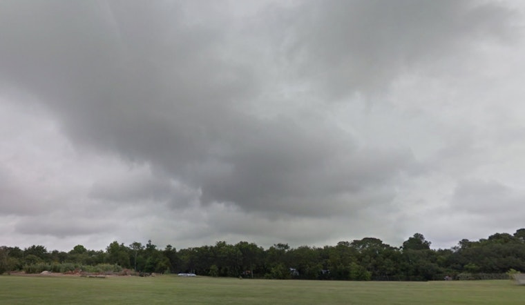
Houston residents can expect a damp and dreary weekend as an upper-level low pressure system makes its way over Texas. Showers are set to begin this afternoon and are predicted to persist through Saturday night and Sunday, as reported by the National Weather Service.
While earlier predictions included a Weather Impact Alert Day for Sunday, KHOU 11 Weather Team has since recalled the alert due to reduced rainfall totals expected for the Houston area.
Despite the revised forecast, there is a 60% chance of rain on Saturday, primarily after noon, with cloudy skies and a high near 58 degrees. As the evening approaches, the likelihood of showers and thunderstorms increases to 80%. Given the already saturated ground from previous rainfall, isolated areas may experience heavy rain, potentially leading to ponding on roads. Southeast Texas, which was initially expected to receive heavier rainfall, is now projected to receive 1-2 inches, as the main storm system shifts northward toward Arkansas and eastward toward Louisiana, as per KHOU 11 report.
Rainfall is not the only concern; the region should also monitor the potential for training thunderstorms. These occur when successive storms move over the same area, which can lead to flooding in locations that have not had enough time to absorb the rain before the next storm arrives. However, training thunderstorms are forecasted to focus further north and east, away from Southeast Texas.
Looking ahead to the rest of the week, Houstonians will wade through showers likely on Sunday, mainly before 7 a.m., and patchy fog before the afternoon. According to the National Weather Service forecast, the skies will remain cloudy with a high near 68 degrees. Sunday night also carries a chance of showers and thunderstorms. However, conditions are expected to improve by Monday, transitioning to gradual clearing and a high near 78 degrees.


