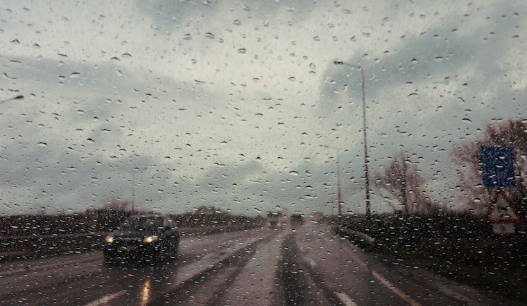
If you're in Houston and thinking about when to hang those twinkling Christmas lights, you might want to wait out the damp conditions that have settled in. According to the National Weather Service, today's forecast includes likely showers and the potential for a thunderstorm before the day clears up later in the evening, with a warm high near 65 degrees amidst a calm shift in the winds. Tonight's outlook seems a bit drier with only a slight chance for showers before 7pm following which patchy fog is expected to roll in further blanketing the city in moisture without cooling it down too much since temperatures are holding steady around the lower 60s.
For those ready to trade their umbrellas for sunglasses, Monday promises a peek at the sun after the morning fog lifts, projecting a climb in temperature to a pleasant 79 degrees, though this window of respite is perched before the edge of a significant cold front sweeping in by Tuesday, according to a Houston Chronicle report. Winds are expected to pick up by Monday night, serving as a prelude to the approaching frigid air; despite starting off in the 50s and rising slightly by noon, Tuesday will find Houstonians bracing against gusting northern winds as the thermometer dips back into the chilly embrace of the impending cold snap, the same report indicates.
The National Weather Service warns of a significant cold snap midweek, with freeze watches and warnings possible. Southeast Texas could see temperatures at or below freezing by Wednesday morning, with Thursday morning bringing an even colder start. Daytime highs will struggle to reach the low 60s, well below seasonal averages.


