Minneapolis residents should brace themselves for another dose of wintry weather as forecasts indicate a mix of anticipated snowfall and chilly temperatures for the week ahead. The National Weather Service (NWS) predicts a 50% chance of snowfall starting late this afternoon, with a cloud cover that will hold a high near 28 degrees. Commuters may face less than half an inch of accumulation by day's end, but conditions are poised to change as the evening progresses.
Tonight's forecast sees a notable ramp-up in snow probability, hitting a near-certain 90% chance, with additional snow accumulation expected to be less than half an inch. While the snowfall is predicted to ease off before 10 p.m., the temperatures will dip to around 18 degrees, offering a chilly reminder of winter's presence. Travel could be slick given the snow expected late this afternoon and evening across southern Minnesota, especially for those driving home in less-than-ideal conditions.
According to the NWS's seven-day outlook, Wednesday should bring some respite with mostly sunny skies and a high close to 20 degrees, before snow chances creep back into the picture Thursday night. Accumulations of less than an inch are probable, as temperatures hover near the 13-degree mark.
However, the most significant weather event on the horizon is set for Thursday. Current predictions suggest an 80% chance of snow, with new snow accumulations reaching potentially 2 to 4 inches as a result of the snowy downpour. The wind, shifting from southeast to north throughout the day, will only add to the atmospheric tumult – a slight gust amidst the otherwise stilled world blanketed in flurries.
Moving into the weekend, residents can look forward to clearer skies, though temperatures will remain decidedly brisk. Friday promises mostly sunny conditions with a high of around 14 degrees, and similar weather can be expected on Saturday. As night falls, lows are projected to drop to a cool 6 degrees. This pattern marks a stark contrast to the early-week disruptions, indicative of winter's unpredictable nature as known to those residing in this city.
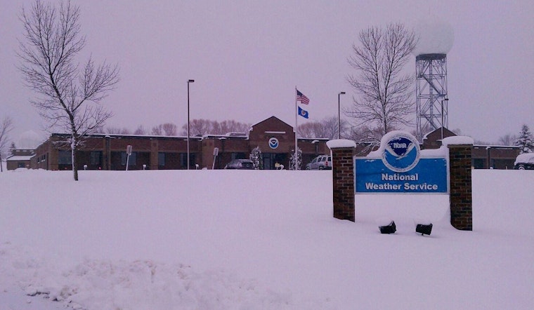
The Hazardous Weather Outlook issued by the NWS also indicates that a swath of 3 to 6 inches of snow is likely across central Minnesota & western Wisconsin by Thursday, especially along and north of Interstate 94. Spotters and observers are encouraged to report snowfall amounts back to the NWS, underscoring the community's role in weather preparedness and response.
Closing out the weekend Sunday, temperatures are expected to rise slightly, going from partly sunny skies and a high near 26, leading to a mostly cloudy night with a low of around 17 degrees. The following Monday, Minneapolitans will face mostly cloudy skies again, as temperatures inch up to near the 30-degree mark, with south winds gently reminding of the season's whims.


