Early this Thursday, patches of mist and drizzle were seen, which subsequently gave way to cooler breezes and is expected to lead to dropping temperatures as the day progresses. FOX 26 Houston reports that Houstonians should be prepared for chillier wind gusts with the potential for wind chill values dropping into the 30s by Friday morning.
Friday brings with the promise of sunshine a high that is forecasted not to exceed the mid-50s, and late in the day, there is the potential for showers to roll in from the west. According to the National Weather Service, there is a slight chance of showers between 8 am and 11 am with a cloudy sky holding a high near 63 degrees for the rest of the day. The northeast wind is expected to maintain a pace of around 10 mph, with gusts reaching as high as 20 mph.
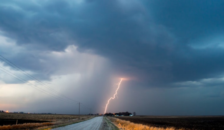
The coming weekend does not offer much respite, with rain anticipated on both days. A 60% chance of precipitation on Saturday rises to a major 90% on Sunday with the forecast indicating showers and possibly a thunderstorm. "Showers likely, then showers and possibly a thunderstorm after midnight," with some storms "could produce heavy rainfall" is what Saturday night holds for Houston, the National Weather Service indicates.
Looking forward to next week, Houstonians can expect a mild start with Monday showcasing mostly sunny skies and a high approaching the mid-70s. But the weather patterns might swing yet again, with FOX 26 Houston projecting "potentially very cold air mid-week." By Tuesday, the chance of showers and thunderstorms dips back to 20 percent with partly sunny conditions and a high nearing 64 degrees.


