The National Weather Service in Fort Worth has issued a winter storm watch that remains in effect from late Wednesday night through Friday afternoon, signaling a potential for significant snowfall and ice accumulation across North Central and Northeast Texas. Dallas residents and those in the surrounding areas are advised to prepare for adverse weather conditions that could disrupt normal patterns of life.
Current forecasts predict the storm could bring total snow accumulations between 3 and 6 inches, with the potential for ice accumulation of around one-tenth of an inch. Such conditions are expected to make travel difficult, if not impossible, especially during the peak travel times of Thursday morning and evening commutes. The National Weather Service advises locals to consider delaying travel during this time or to proceed cautiously, equipped with winter storm kits if travel is essential.
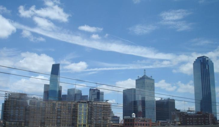
As the sun peaks out on an otherwise partly sunny Dallas today, with a high near 40 and a north wind moving at 5 to 10 mph, the impending weather starkly contrasts what looms on the horizon. Temperatures will likely drop to a low around 27 tonight, and cloudy skies will persist as a precursor to the winter mix.
By Wednesday, the mostly cloudy skies are expected to give way to gradual sunshine, with highs nearing 42 and the same brisk northern winds. But this relative calm is set to be sharply disrupted by the snow showers predicted to move in after midnight. These showers will culminate in Thursday’s near-certain precipitation, which will heavily impact road conditions. The NWS warns that roads, especially bridges and overpasses, will likely become slick and hazardous, underscoring the seriousness with which this watch must be taken.
Friday's forecast offers a modest reprieve: Only a 20 percent chance of snow showers before noon will lead to a partly cloudy night with a low around 24. The weekend promises a return to more stable conditions, with sunny skies and highs reaching into the mid-40s by Sunday.


