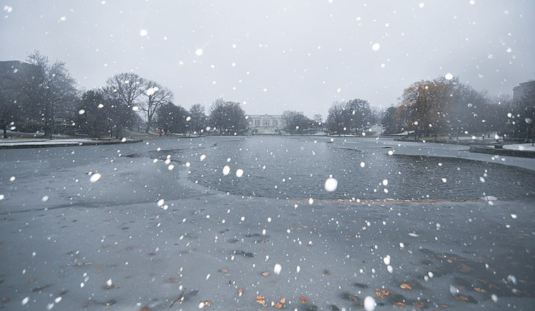
The forecast in Cleveland is a mix of wintry chills and snow showers, as per the recent update by the National Weather Service in Cleveland. Residents in northern Ohio and northwest Pennsylvania are experiencing the brunt of the weather's sting, with temperatures in the single digits and wind chill values teetering between -5F and 0F. The Area Forecast Discussion issued early Tuesday morning highlights a deep freeze that has settled over the region.
The NWS advises that a "strong upper level trough" is currently swinging through the Upper Midwest and Great Lakes, ushering in frigid air and conditions ripe for snow squalls. Weather conditions today are expected to quickly transition from mostly clear skies at dawn to increased cloud coverage and a round of light snow spreading over the area by noon. Accumulations of a fluffy inch of snow are possible. "High temperatures will likely stay in the upper teens to around 20 degrees and wind chill values will remain in the single digits this afternoon," the discussion states. An evolving situation is expected to not only bring general snow flurry but also to potentially trigger a few localized snow squalls between 18z and 00z.
For those traversing near Lake Erie's shores, the shift in winds might momentarily push lake effect snow towards the eastern basin, before a mid-level atmospheric disturbance moves across the region and reorients the snow bands back into the primary snowbelt. This is anticipated to continue into Wednesday as the trough persists. Per the NWS forecast, "The main attention will be for the LES in the primary snowbelt tonight lasting into Wednesday."
As the week progresses, weather patterns in Cleveland are predicted not quite to let up. Lake-effect snow will continue through Thursday, and a mixed bag of weather conditions will lead into the weekend. Temperatures will start to climb by Friday, hitting the mid- to upper 30s, before another cold front ushers in colder arctic air again. According to the extended outlook provided by NWS, "Highs on Sunday will be in the low to mid 20s before plummeting on Monday to only reach into the mid teens. "
Nevertheless, the aviation forecast calls for quickly changing conditions from VFR to likely MVFR or IFR due to light snow and ceiling lowering. "After the area of light snow moves out, conditions will return to VFR to MVFR ceilings this evening and overnight," the NWS specifies for pilots. Over Lake Erie, mariners should note that a Small Craft Advisory remains in effect until Wednesday, with water levels fluctuating and freezing spray potentially affecting vessels.


.jpg)