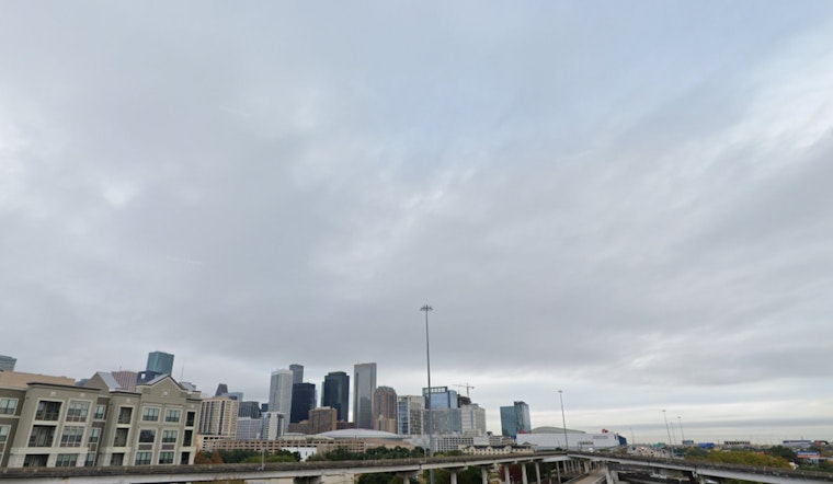
Houston residents can expect a dreary Sunday with a 40 percent chance of showers, primarily between the morning and afternoon hours, as reported by the National Weather Service. The city will see mostly cloudy skies with temperatures reaching a high near 53 degrees, while winds are expected to shift from east to north in the afternoon. Looking ahead into the evening, the chance of showers drops to 20 percent before clearing out, leaving partly cloudy conditions with a low around 42 degrees, and gusts that could reach as high as 20 mph.
Tomorrow, Houstonians will experience a shift towards clearer skies, with mostly cloudy weather gradually giving way to sunshine, and daytime temperatures climbing to a moderate high near 55 degrees. The National Weather Service forecasts north winds persisting at 10 to 15 mph, gusting up to 25 mph.
According to an update from the National Weather Service, the remainder of the week will see a mix of cloudy skies and partial sunshine until Friday, when shower chances reemerge, reaching 30 percent. The temperature is expected to take a turn towards warmer weather, peaking near 70 degrees.
Click2Houston also shared insight into the approaching weather trends, suggesting that rainfall accumulations today are predicted to be less than half an inch, especially south of I-10. The latter part of the week will bring temperatures that are closer to average for this time of year. However, a brief warm-up is anticipated before a cold front on Saturday night introduces another round of rain and the potential for colder weather on Martin Luther King Day.
For those making plans for the upcoming holiday, it might be wise to prepare for cooler conditions and possible rain interruptions. With Houston's weather as dynamic as it is, staying informed on the latest forecasts will be crucial for residents and visitors alike wanting to make the most of their activities without the weather putting a damper on their plans.


