Oahu residents can expect moderate to locally breezy trade winds to persist through the weekend, with a shift early next week as a weakening front moves in. According to the National Weather Service in Honolulu, showery weather is expected to primarily affect windward and mauka areas, so be prepared if you're heading in those directions.
In terms of the wet stuff, a satellite and radar analysis indicated a developing cutoff low south of the Big Island which may stir up some trouble with instability across the state's skies, predicting a decrease in showers but also suggesting the possibility of brief heavy showers especially around Maui County and the Big Island, where isolated thunderstorms can't be ruled out as the sea breeze kicks in during afternoon hours, this according to the latest releases from the NWS. Radar has already picked up on a few moderate showers carried westward by the robust trades from the northeast.
The breezes that have been roughing up island hairdos aren't going anywhere until Sunday when they're expected to lose some steam due to a weakening front heading our way from the north—the same front that's been keeping us company and the high northeast of the state weakens, cloud cover and showers will stay put however, prioritizing windward and mauka locales as their favored hangouts. The eastern parts of the archipelago should brace for some active tradewind showers until the upper-level low gives up and shifts north come Sunday night into Monday.
For those taking to the skies, the trade winds will bring scattered showers mostly on the windward side this morning, but don't rule out an occasional sprinkle over leeward areas; the NWS also mentioned weak instability from an upper-level low that could bring heavier showers to leeward sections of the Big Island in the afternoon. Rough air at lower levels is sticking around too, as AIRMET Tango remains in effect, signaling turbulence for anyone flying through the breezier trade winds.
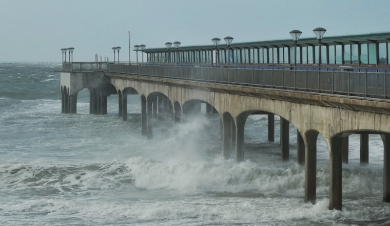
Seafarers should be aware that the strong trade winds, sustained by a surface high far to the northeast, are expected to ease early next week as the ridge to the north weakens. By Wednesday and Thursday, these winds may be entirely disrupted, leading to calmer waters across the marine areas. However, a Small Craft Advisory remains in effect for some windier waters around Maui and the Big Island until Sunday evening. The changing weather patterns are also impacting surf conditions, with a series of northwest swells expected to bring advisory-level surf to various shores early next week. There is even the potential for warning-level surf by Friday, so mariners should stay vigilant and prioritize safety.


