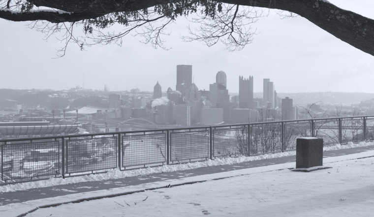
As Pittsburgh braces for continued wintry conditions, snow showers are forecast to linger around the ridges and areas north of the city into Wednesday, according to the National Weather Service Pittsburgh PA. An assessment early this morning confirmed ongoing snow flurries powered by northwest flows and shallow moisture, presenting a minor threat of additional accumulations in higher terrain. For those living in Eastern Tucker County, the combination of bone-chilling winds and single-digit temperatures has triggered a Cold Weather Advisory until 10 AM EST today, underscoring the serious nature of the current cold snap.
The cold doesn't plan on bidding farewell anytime soon, as below-normal temperatures are expected to persist into the early part of next week. "Elevated wind gusts with air temperatures in the single digits, in Eastern Tucker County tonight may again be pointing toward wind chill values reaching Cold Weather Advisory criteria," warns the National Weather Service, but a respite may come with dry weather on Thursday ahead of possible snow returning Friday night. A consistent northwest flow lacking dry-air advection at the surface is key to keeping that moisture in place.
Wednesday, we will likely see lake-effect streamers in the region, with the most impact anticipated north of Pittsburgh, specifically for Jefferson, Forest, Clarion, and Venango counties. However, there's low confidence in the exact placement of these bands, which could exceed two inches if they persist. Lake-effect snow and the occasional gusty winds may result in days that put the region under advisory-level wind chills, especially in the ridges, the National Weather Service forecasts.
Regarding the weekend, forecasters warn of a potential for more snow Friday night as low pressure approaches the area. While some models suggest the presence of a significant nor'easter, the range of possible outcomes continues to vary widely. Precipitation chances increase overnight into Saturday, with ensemble predictors showing divergent paths for the storm. The dry end to the weekend brings hope, but snow chances are on the rise again as the new week begins, signaling that Pittsburgh’s winter is far from over.


.jpg)