The Sacramento area is expected to continue experiencing dry weather through Friday, with ridging over Northern California and Valley highs sitting comfortably in the 60s. For the foothills and the northern Sacramento Valley, temperatures might even climb to the mid 60s and low 70s over the next couple of days, according to the National Weather Service Sacramento.
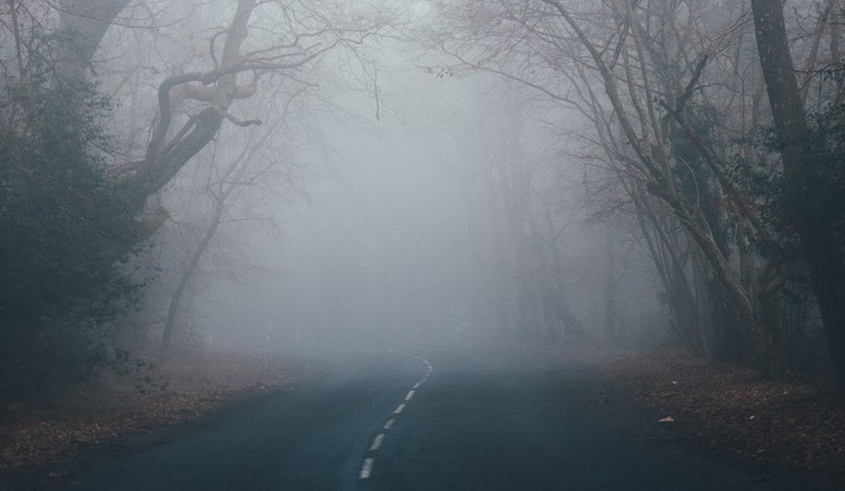
However, not all is sunny in the forecast. The National Weather Service warns of patchy Valley fog and frost during these cold nights. With rural parts of the Valley already hitting near freezing temperatures in the early hours, those with plants, people, and pets are advised to gear up against the frigid weather. "Be sure to protect plants, people, and pets from the cold weather," the National Weather Service recommends, recognizing that despite the lack of a white winter blanket, the chill can nip fiercely at unsuspecting Californians.
Change is on the horizon come this weekend as a low pressure system moves south over NorCal. This transition brings the potential for light rain and snow at higher elevations, though accumulation is expected to be minimal. "Most (very light) accumulations will be limited to the Motherlode area," said the National Weather Service, with those anticipating hefty snowfall likely to find their expectation turn to wisps as light flurries could barely layer the ground with less than two inches.
It's not the precipitation but the roaring winds that will headline Saturday's weather narrative. The forecast predicts gusts reaching 40 mph or higher in parts of the Valley, and even gustier in the Sierra with a 50 to 75% chance for 50 mph winds. These gusty conditions are set to be the main story of the weekend, making outdoor plans and high-profile vehicle travel potentially precarious. "Strongest winds are currently expected some time on Saturday," the National Weather Service said, hinting at a blustery day where residents might be better off battening down the hatches than flying kites.
Looking ahead, the extended discussion suggests a slight chance of Sierra Nevada precipitation come Sunday, but the spark of concern quickly shifts southward as the weather system makes its exit. Post-weekend forecasts predict a return to drier conditions and lighter winds, with temperatures near or slightly above normal as an upper-level high-pressure ridge moves inland. Aviation-wise, expect local MVFR/IFR conditions in mist in the south Sacramento and north San Joaquin Valleys up to 17z and after 08z Thursday. Aside from that, VFR conditions should hold over interior Northern California for the next 24 hours.


