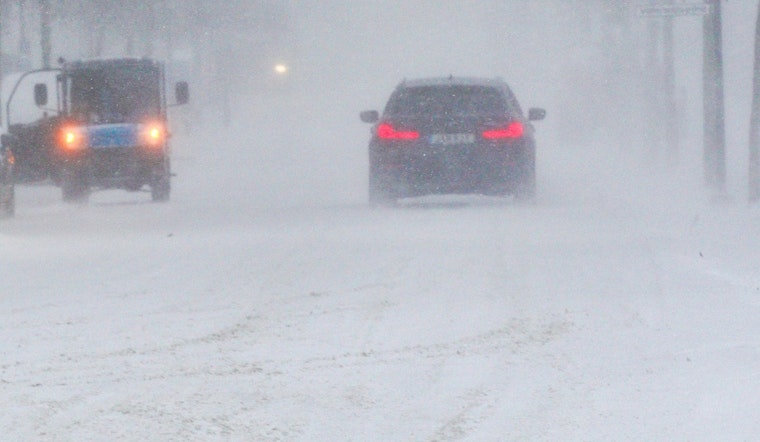
Bracing for a chilly week ahead, St. Louis residents will see a mix of light flurries and cloudy skies today, with a slight chance of snow in the early morning, as reported by the National Weather Service. With temperatures peaking at a high near 26, the day will carry a brisk northwest wind ranging from 10 to 15 mph, gusting up to 28 mph, while the chance of precipitation hovers around 20%.
As the evening sets in, St. Louisans can expect the skies to clear up, heading into a frigid night with a low of around 9 degrees. The northwest wind will slow to a 5 to 9 mph breeze. The forecast into Tuesday doesn't promise much in terms of warm relief, remaining mostly cloudy before transitioning to sunnier conditions later in the day, with a high near 24 and lighter northwest winds.
Looking ahead, Wednesday to bring sunshine with a high near 22, but nighttime temperatures will plummet to around 1 degree. The remainder of the week will follow a pattern of clear skies and sun during the days, with temperatures gradually creeping up, reaching the low thirties by Saturday.
Residents with weekend plans should keep their coats on hand as the lows stay cooler hovering around the low twenties. Come Friday, there's a small possibility for snow, introducing a 20 percent chance afternoon. St. Louis is poised to face a consistently cold week, signaling a true January grip, according to the NWS update.


