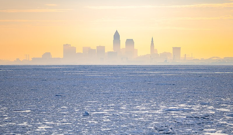
Brace yourselves, Cleveland. As the National Weather Service in Cleveland reports, a low-pressure system is primed to sweep across the Great Lakes, ushering in a strong cold front poised to hit this evening. According to the latest National Weather Service in Cleveland forecast discussion, high pressure will be building in on Saturday, offering somewhat of a reprieve before another low chase its heels into the area come Wednesday.
Today's mild conditions are deceptive; don't let them fool you into leaving that winter jacket at home. The NWS Cleveland details that we should expect a brief return to starkly colder weather for the weekend. The winds, they're set to seriously to pick up this afternoon, primarily out of the southwest. And for those residing near the eastern lakeshore, be prepared for gusts potentially touching 45 mph around 4 PM. For areas under a Wind Advisory, gusts could reach 50 mph, starting at noon today and lasting until 7 PM this evening.
With the setting sun comes the dip in mercury. Light rain showers are possible this evening along the advancing cold front, with a slight chance of precipitation across the region, intensifying to a "likely" category Northeast, added the NWS Cleveland. Once we cross midnight's threshold and continue into the early morning of Saturday, flurries and snow showers could make a cameo, thanks primarily to the lake effect, says the NWS. But fear not—snow accumulations are predicted to generally remain under an inch, save for potential localized exceptions in the higher terrain of eastern Erie County, PA.
Come Saturday night into Sunday morning, the NWS tells us that a "shot of arctic air" will chill the bones of the region as temperatures plummet to as low as the teens, with a chance for more lake-effect snow showers due to breaks in the ice. This is thanks to "NW cyclonic flow across Lake Erie," but thankfully, the overall impact seems to be minimal, with snowfall totals in most favored areas just reaching a few inches. The heart of the cold snap is to be Sunday night, with the potential for "strong radiational cooling," warned the NWS Cleveland, leading to a "very cold late winter night."
There's a silver lining, though. As we step into Monday, the cold retreats. A mid-week warming trend knees to unfold, signaling temperatures may rise into the 40s. And by Tuesday, the switch-up to southwesterly winds primes to us usher in even milder airs. However, don't get too comfortable—the NWS mentions a "very dynamic storm system" potentially on our heels for midweek, one that could bring with it the gamut from "high winds" to "possible strong to severe thunderstorms" ahead of another powerful cold front. So, enjoy the transient warmth while it lasts, Cleveland, but keep your eye on the sky and your coat at the ready.


.jpg)