Clevelanders heads up: weather switch-ups are on the horizon, according to the National Weather Service in Cleveland. In a report published online, the forecast discussion points to a low-pressure system that traipsed across the southern Great Lakes and is now making its northeastward march into the St. Lawrence River Valley. While some may breathe a sigh of relief with the exit of this system, high pressure isn't wasting any time sneaking in later tonight and staying through your TGIF plans.
But before you get too cozy with that dry spell, brace yourselves for another low trotting in from the southwest over the weekend. This next system isn't pulling punches, bringing a mixed bag of precipitation. We're talking snow and moderate to heavy rain, which might toss a wrench into weekend vibes. Thursday got off to a slippery start with "a little freezing drizzle" as temps dipped below freezing in the east, so watch your step near I-71 and to the east. According to the National Weather Service, the icy conditions should be brief, but we all know how these quick threats have a knack for lingering longer than our patience does.
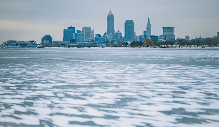
Come afternoon, strap in for wind gusts tossing up to 30mph your way, but we're dodging the heaviest blows with Lake Erie frozen over. Nevertheless, Lake Michigan is picking up the slack, sending moisture our way, which, coupled with a cooling trend and some low-level instability, will likely mean snow showers hitting hardest in the eastern half. You might see "a couple inches possible with up to 4 inches here and there," so those snow shovels aren't going on vacation just yet. According to the National Weather Service report.
Looking ahead to the weekend, that "unsettled weather" doesn't relent, with a shortwave slinging moisture and a snow-to-rain-to-maybe-some-ice combo plate starting late Friday into Saturday. Snow accumulators aren't closing ranks just yet, leaving us squinting at a forecast with "a couple inches of snow," as per NWS, possible across parts of northern Ohio and NW PA. And when that rain starts pouring, "locations in Ohio along and southeast of the I-71 corridor may pick up more than an inch of rainfall." Translation: keep an eye on those rivers. They're expected to swell and may flirt with minor flooding in spots where the turf is still tough as nails, AKA frozen.
When Sunday swings around, bundle up for a cold air punch that'll turn rain back into snow, setting us up for a lake-effect one-two that could spill over into Monday. With winds potentially tearing through at over 30 mph, it's prime time for some blowing snow issues. By Sunday night, we might be staring down single-digit lows, so stay warm and maybe keep a mug of something hot in hand. Those lake effect snow showers are expected to fizzle by Monday, but keep on your toes – the weather here is about as predictable as a plot twist in your favorite drama series.


.jpg)