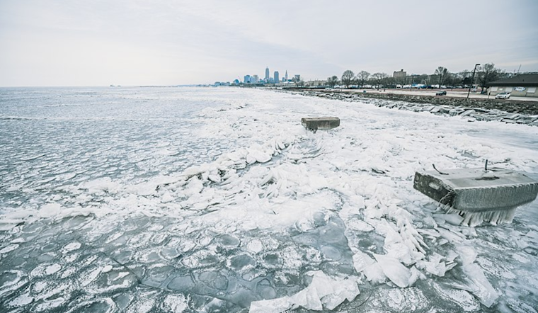
The National Weather Service (NWS) in Cleveland has issued an area forecast outlining atmospheric conditions expected to affect the region over the coming days. Today's conditions are anticipated to be cold and predominantly cloudy following the cold frontal passage from last evening. According to the National Weather Service discussion, light snow showers could pepper the snowbelt area later today, potentially touching the ice-encrusted Lake Erie.
Forecasts predict a brief interlude of high-pressure stability late tonight into Wednesday morning before the situation pivots with the approach of a low-pressure system from the southwest. This upcoming system could usher in a narrow band of snowfall across northern Ohio by late Wednesday morning and afternoon. However, due to limited moisture trailing the exiting high pressure, meteorologists keep expectations for snowfall accumulations relatively muted.
The NWS Cleveland details the complexity of Wednesday's incoming low-pressure system. It will likely merge with a stronger upper-level trough, leading to a dynamic precipitation pattern across the region. A wintry mix is likely, including a transition from initial snow/sleet to freezing rain, as warming temperatures aloft conflict with sub-freezing surface conditions. A shift to all rain is expected by Thursday morning as a warm front takes effect.
Ice accumulation is becoming a primary concern. The forecast projects a wide area receiving at least 0.01" of ice, with a band of 0.05-0.15" thickening around the Toledo zone, where easterly winds might prolong lower temperatures. "There is very high confidence in at least 0.01" of ice accumulations areawide, and it is a near guarantee at this point," according to the National Weather Service report. The looming ice threat raises fears of treacherous driving conditions Wednesday night and possible power outages—particularly in areas that could witness upwards of 0.25" of ice.
Moving into the weekend, the NWS anticipates another upper-level trough bringing similar challenges. Yet again, a wintry mix is on the table, solidifying concerns for ongoing difficult weather conditions. Travelers and residents should brace for further disruptions and stay tuned to the latest updates. The Small Craft Advisory on Lake Erie remains on hold due to the lake's extensive ice cover.


.jpg)