For Cleveland residents looking to plan their week around the weather, look no further. A brief forecast overview has been provided by the National Weather Service Cleveland OH, giving those in the region an idea of what to expect in terms of rain and temperature fluctuations. According to a recent National Weather Service Cleveland OH forecast discussion, the area should brace for a weak frontal boundary this morning, high pressure returning tonight into Wednesday, and another low quickly moving in Wednesday night through Thursday.
The near term holds "milder temperatures and chances for rain showers," with light rainfall totals under a tenth of an inch. Wednesday is looking to start dry, but will likely see afternoon showers increase from the west. High temperatures are expected to fall "from the middle 40s to lower 50s," providing a mild respite amidst a variable February. As the National Weather Service notes, a shortwave mid-level trough and a corresponding surface trough are the main players behind today's weather patterns, and are set to quickly move across the area.
In the short term – spanning Wednesday night through Friday night – residents can expect the weather to somewhat of a mixed bag. The approaching surface low, trailing a cold front, is set to bring showers into the night and early Thursday. Forecasts suggest a change from rain to snow by Thursday evening in the snowbelt areas, with 1-2 inches of snowfall possible. A temporary reprieve comes on Friday with high pressure granting a dry day, but the respite is forecast to be short-lived, with another boundary bringing potential showers on Friday night.
Looking ahead to the weekend, another upper-level trough and surface low may impact the region. This could introduce a "rain/snow mix" primarily in the snowbelt areas come Saturday. Again, there appears to be limited moisture not expected to cause significant disturbances. As high pressure builds over the area late Saturday into Sunday, the hope of a clearer start to the following week surfaces. Temperature wise, the weekend might hold highs "in the upper 30s to low 40s," cooling to the upper 20s to low 30s on Sunday.
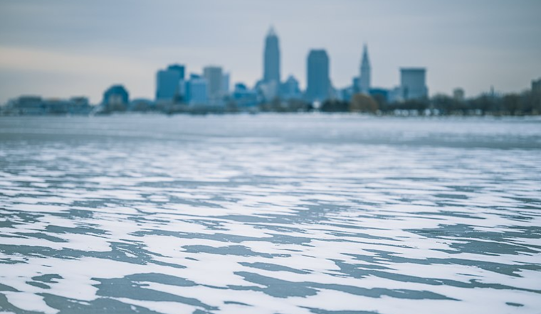
For aviation interests, VFR (Visual Flight Rules) conditions look to prevail for the most part over the next 24 hours, with some rain showers potentially causing brief visibility reductions this morning around NEOH and NWPA. Generally, "winds will be from the southwest 5 to 10 knots this morning," and will shift to westerly later in the day. Mariners on Lake Erie, which remains largely ice-covered, won't have to worry about Small Craft Advisories for now, but are cautioned that the unseasonably warm temperatures through Thursday may weaken the ice cover further, emphasizing the ongoing risks associated with the lake's conditions.


.jpg)