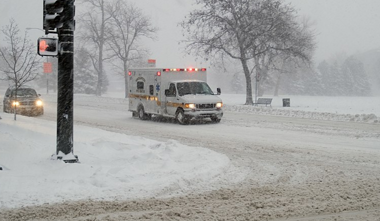
The National Weather Service in Denver issued a hazardous weather outlook today, with light snow showers continuing in the mountains and isolated snow showers predicted for the plains. According to the National Weather Service, blustery conditions and accumulations are expected into this evening, complicating road travel. Denver's already frigid temperature of 7°F, coupled with considerable humidity at 83%, will dip further tonight with wind chills plummeting between -5 to -30.
Residents should brace for a particularly arctic snap, as the mercury isn't expected to break the 15-degree mark today, especially in the eastern plains. The bitter chill is forecasted to peak overnight. The added hazard of poor visibility, registering at a meager 0.63 miles earlier this morning, should prompt caution for Denverites setting out amidst this wintry spell.
While the midweek outlook promises slightly more clement weather, the cold arctic air mass lingers with single digits and teens dominating the temperature charts until Thursday morning. The northeast corner of Colorado braces for the harshest conditions, potentially experiencing wind chills down to -30°F.
Looking towards the weekend, an encouraging shift is on the horizon. A weather system arriving Thursday night into Friday promises snow for the mountains and a chance of it hitting the plains. Thereafter, a gradual warming begins, ushering a dry spell that could see Sunday highs in the balmy 60s.


_Denver,_Colorado,_December_20,_2006_-_Denver_was_on_accident_alert_as_a_blizzard_hits_Denver_with_up_to_28_inches_of_snow._FEMA-Michael_Rieger_-_DPLA_-_6380ecae4315dc44f289e96bd3723778.jpg)