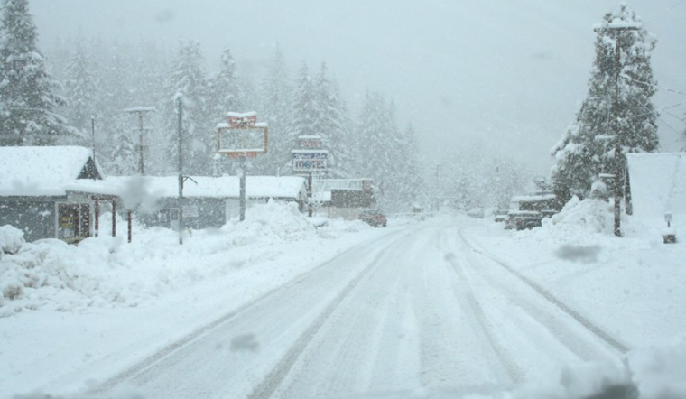
Residents in Detroit should bundle up and get their shovels ready as snow is expected to sweep through the area, along with some bone-chilling temperatures in the upcoming days. According to a forecast from the National Weather Service, today's weather includes snow until 2 pm, with a potential resurgence following a short break at 4 pm. The temperatures are predicted to plummet to 27 degrees around 5 pm with north winds blowing at a speed of 11 to 16 mph, and gusts possibly reaching 28 mph. The chance of precipitation stands high at 100%, with an anticipated total daytime snow accumulation of around 2 inches.
Tonight, the chance to see additional snow flurries will decline before 7 pm, under mostly cloudy skies and a low that's hovering around 15 degrees. Detroiters can expect a west-northwest wind to persist around 15 mph, with gusts as mightily high as 28 mph. The chance of precipitation drops to 30%. Washington's Birthday will not offer much solace from the cold, as the forecast calls for mostly cloudy skies with a peak temperature barely scraping 19 degrees and wind chill values that could feel as low as zero, paired with west winds of 11 to 15 mph and gusts up to 25 mph.
Rolling into Monday night, the clouds should begin to disperse, gradually revealing a mostly clear sky and temperatures chillingly falling to a low near 3 degrees. The wind chill effect could make it feel as frigid as -9 degrees, with a west wind blowing at a speed of 7 to 10 mph and gusts potentially reaching up to 18 mph. The extended forecast through the week suggests a continuation of this cold snap. Tuesday's outlook is mostly sunny yet deceiving, with highs hovering near 17 degrees and a west-northwest wind blowing gently at 6 to 10 mph.
As the week progresses, temperatures linger on the colder side with Tuesday night dropping to around 2 degrees under mostly cloudy skies. The pattern remains with Wednesday also promising more clouds and a high near 19 degrees. Wednesday night rolls in with a slight twist, as there's a chance of snow after 1 am, beneath a mostly cloudy cover and a low around 12 degrees. The latter half of the week doesn't stray far from this trend, with predominantly cloudy skies and temperatures gently rising to a more bearable high near 24 on Thursday and flirting with the high 20s by Friday.
For those planning ahead, Friday night is expected to be mostly cloudy, with a low of around 15 degrees. Moving into the weekend, Saturday offers a slight respite with partly sunny skies and a high near 26.


