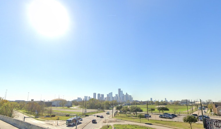
Houstonians experienced a slight chance of drizzle early this morning and patchy dense fog before things cleared up, giving way to mostly sunny skies and high temperatures nearing 78 degrees. Tonight, the fog is expected to roll back in with a slight chance of drizzle after 9 p.m. and low temperatures hovering around 67 degrees, as reported by the National Weather Service.
The rest of the week looks to continue with the trend of patchy morning fog and gradual clearing to high temperatures, with Thursday and Friday's forecasts anticipating highs around 80 and 82 degrees, respectively; Houston's weather pattern has been unseasonably warm, with Monday and Tuesday's record-breaking mid 80s temperatures outpacing highs from the 1950s, according to FOX 26.
Looking ahead to the upcoming weekend, the weather is predicted to remain warm and humid with potentially record-high mid 80s temperatures and muggy conditions; however a looming cold front on Sunday could introduce variability with cooler air potentially stalling to the north, as noted by FOX 26.
The early part of next week may not offer the same sun-kissed respite, as scattered showers are expected to follow Sunday’s cold front, bringing more persistent clouds and rain into Monday. "Tuesday looks to be the rainiest day with storms possible," though the temperature drop will be mild, with no harsh chill expected. This constant change reflects our desire for predictability, as we remain at the mercy of the sky’s unpredictable nature, as per the FOX 26 forecast.


