

























































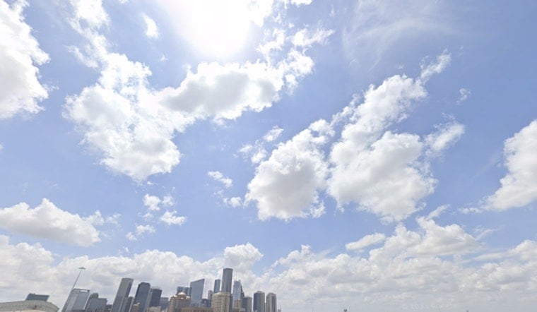
Houston is waking up to clear skies and temperatures near 80 degrees, but the easy morning feel will not last. Thursday afternoon is expected to bring a high near 96, with humidity pushing the heat index as high as 106. A brief shower or thunderstorm is possible, though most of the city should stay dry.
Afternoon Heat Peaks Before A Small Rain Chance
The slim rain window arrives between 1 p.m. and 4 p.m., when the chance of showers and thunderstorms reaches about 20%. South winds will run 5 to 15 mph, with gusts near 20 mph, offering some movement in the air but not much relief from the heat. The National Weather Service says heat indices across Southeast Texas could reach the low 100s, with a few spots possibly nearing 110.
Friday brings a slightly better chance of rain, with showers and thunderstorms possible after 7 a.m. and a 30% chance overall. Temperatures should still climb to about 95, while the heat index could reach 109, making outdoor plans feel more punishing than the thermometer suggests.
Sunny And Hot Weather Settles In For The Weekend
Rain chances drop sharply Saturday, which is forecast to be sunny with a high near 96. Sunday and Monday look even hotter at around 97 degrees, followed by a high near 98 on Tuesday. Overnight lows will remain sticky, mostly in the upper 70s to around 80.
There are no watches or warnings posted for Houston in the current forecast, but the combination of heat and humidity still calls for basic caution. Drink plenty of water, schedule strenuous outdoor activity for early or late in the day, and keep an eye on children, older adults and pets during the hottest hours.





