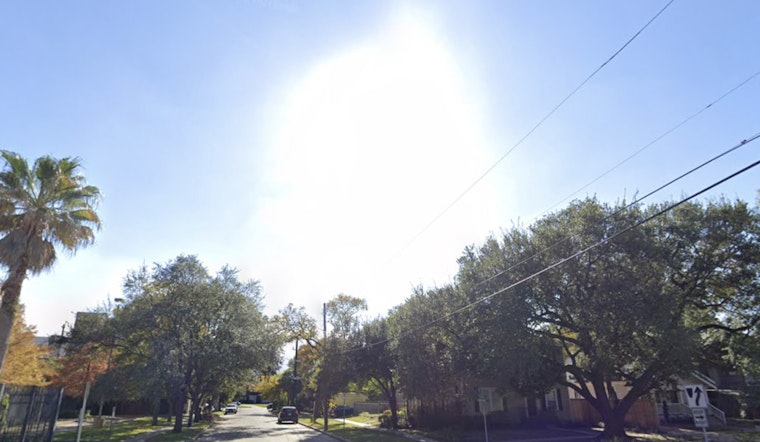
Houston is expected to see spring-like warmth this week, with temperatures reaching into the 80s, more typical of mid-April than early February. According to the latest weather report from Houston Chronicle, mostly sunny skies are forecast, along with a break from significant rainfall.
Today will begin with patchy fog, which is expected to clear by late morning. The high is forecast to reach around 75 degrees, well above the seasonal average. Tonight, temperatures are expected to remain in the upper 50s, signaling a trend toward milder evenings and warmer mornings in the coming days, according to the National Weather Service.
The week ahead is expected to bring a continued rise in temperatures, with Monday's highs nearing the upper 70s. From Tuesday to Thursday, temperatures could hover around the 80-degree mark. The city may even approach breaking a daily high temperature record set in 2008, should temperatures climb slightly higher, according to Houston Chronicle.
Nights are expected to remain mild and damp, with fog developing after midnight, particularly leading into next weekend. Low temperatures will stay in the comfortable mid- to upper 60s, with fog lingering before mornings transition to sunny, partly cloudy days. By the weekend, a potential cold front could move through the state, bringing temperatures closer to seasonal norms. As a result, Houston’s brief stretch of spring-like weather may not signal a permanent shift in the city’s weather patterns.
While the warmer weather may be a welcome change for many residents, it is not bringing significant rainfall. January recorded 4.23 inches of precipitation, 13% above the average for the month, but February is expected to be drier. Light drizzle and fog may still occur during the early mornings through mid-week.


