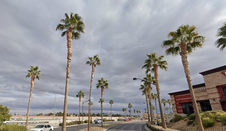
Las Vegas is set to swap its dry spell for a dose of winter weather, according to the National Weather Service. A widespread valley rain paired with mountain snow is on the forecast, signaling an end to the dry spell that's gripped Las Vegas for 214 consecutive days. Commuters this morning may have noticed a few flurries, with low snow levels between 750 and 2000 feet giving a hint of the wintry mix to come. As reported by the NWS, precipitation rates are set to peak overnight, particularly along Interstate 15, before tapering off on Friday.
While the National Weather Service admits to having some trouble pinning down the precise snowfall amounts for the Spring Mountains, they've concluded that it will likely see between 12 to 24 inches above 6500 feet and 18 to 36 inches above 8000 feet. "The snowfall reality is likely in the realm of 12 to 24 inches in the Spring Mountains above 6500 feet and 18 to 36 inches above 8000 feet, with higher amounts at the peaks," the NWS elaborates, reflecting these predictions in the updated Winter Storm Warning. Meanwhile, Las Vegas stands a 95-100% chance to receive measurable rain, even if some rain shadowing occurs.
Not just a spectacle for the skies, but also felt on the ground, gusty southwest winds ravage the region with Wind Advisories in place for much of the area. Motorists and outdoor enthusiasts should take heed of possible conditions with winds clocking in between 15 and 25 mph, with gusts up to 45 mph. San Bernardino County will face persisting west-southwest winds overnight, anticipated to strengthen on Friday with potential gusts approaching 55 mph.
Looking ahead, dry conditions are forecasted to return and prevail over the weekend, with a high-pressure ridge bringing tranquility after the storm. Yet stay alert early next week as another system could stir up gusty north winds down the Colorado River Valley, with a slight possibility for showers in northern Lincoln County. The National Weather Service is keeping tabs to determine if additional advisories will become necessary.
Aviation is set to be impacted too. Pilots should expect to navigate challenging conditions with MVFR to IFR ceilings and visibilities decreasing across the board. The NWS has detailed that visibility may drop below 3sm at times, coupled with winds that could throw off flights and bring momentary bouts of rough flying conditions.
The NWS encourages those who witness significant weather or its impacts to follow standard operating procedures in their reports.


