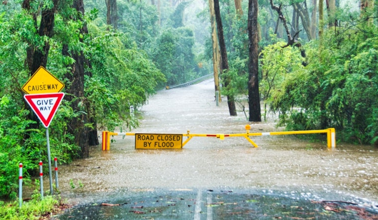
The City of Angels finds itself grappling with nature's fury as the National Weather Service for Los Angeles County has issued both a Flash Flood Watch and Flood Advisory.
Intense rainfall, which began earlier today, is projected to continue through the evening, with the Flash Flood Watch in effect from 10:00 AM PST until 10:00 PM PST and the Flood Advisory from 5:18 AM PST until 11:00 AM PST. According to the NWS Flash Flood Watch, citizens should be on the lookout for "Flash flooding and debris flows caused by excessive rainfall."
Officials are particularly concerned about the areas in and near burn scars from recent fires, namely the Eaton, Palisades/Franklin, and Bridge burn scars, where the terrain is more susceptible to dangerous flows. The Service warns that "Heavy rain over the burn scars could trigger life-threatening and damaging flooding and debris flows," as stated by the NWS Flash Flood Watch.
As for the Flood Advisory, it communicates the onset of minor flooding in low-lying areas with poor drainage, and urban ponds in streets are already forming across the county. The Advisory does stress that "Flooding caused by heavy rainfall is expected." Dangerously, shallow mudslides and rockslides near steep terrain can also occur. Adding to the downpour, additional rainfall of 0.5 to 1.5 inches is anticipated to fall within the late morning hours.


