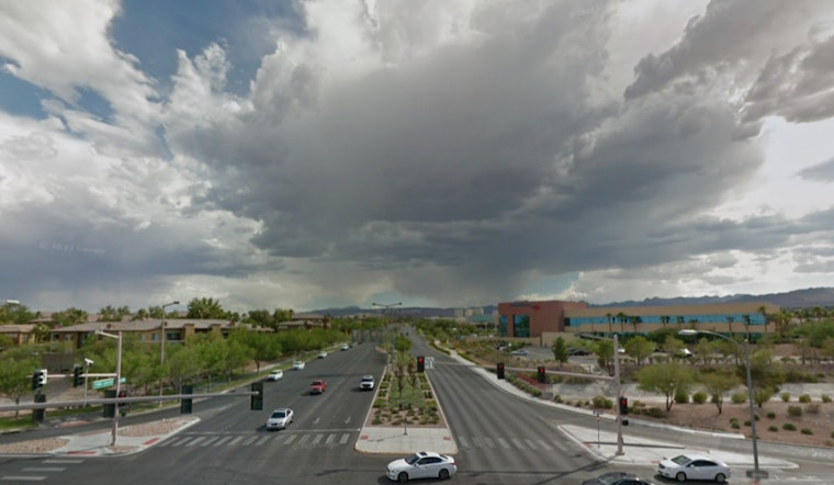
The National Weather Service Las Vegas has issued a new weather forecast for the Mojave Desert region, highlighting an approaching storm that is expected to hit today and continue through Friday. It's anticipated that light showers will begin to spread across the area before the main event – an influx of atmospheric river moisture – which will ramp up widespread valley rain and mountain snow chances through the end of the week. NWS Las Vegas warns of increased precipitation possibilities that are set to spread from west to east on Thursday, with a significant uptick in shower activity throughout the day.
Today's weather is characterized by mostly sunny skies transitioning to increasing cloud cover in the evening, light winds, and temperatures that sit 6-10 degrees cooler than yesterday. Light rainfall, which may first struggle to reach the ground due to evaporation, is expected to make headway around the southern edge of the Sierra Nevada, with a 20-40% chance of showers in western San Bernardino County. According to the forecast, snow levels will start low early Thursday morning, potentially leading to brief snow flurries during the morning commute in certain areas before rising rapidly as the day progresses.
However, exact precipitation amounts remain uncertain due to variability in ensemble guidance and the potential influence of localized downsloping winds, which could result in a rain-shadow effect. The forecast continues to be refined in real time, with additional observations being taken into account. "Uncertainty continues regarding precipitation amounts with this system," NWS Las Vegas states, indicating a broad range of estimates for areas like the Owens Valley. A Flash Flood Watch has been hoisted for the Owens Valley from Wednesday night through early Friday morning due to the substantial rain and runoff expected from the eastern slopes of the Sierra.
Additionally, Winter Storm Warnings are in effect for regions including the eastern Sierra slopes and Inyo County, as well as the Spring Mountains and Sheep Range in Clark County from Wednesday night through Friday afternoon. Heavy snowfall is anticipated, with the Sierra possibly receiving 2 to 4 feet of snow, especially at higher elevations, and the Spring Mountains seeing 1 to 2 feet. Gusty southwest winds are slated to accompany this system, possibly warranting a Wind Advisory, though the National Weather Service has opted to await further high-resolution guidance before making that call. "The strongest winds focus in the western Mojave Desert, where wind-related headlines will likely be needed," the NWS report expands, noting the Friday forecast for the western Mojave Desert.
Looking ahead into the weekend and next week, dry conditions are expected as the storm leaves the area, followed by breezy north winds. A new system will approach by Monday, mainly bringing increased wind probabilities. Temperatures during this period will stay around the mid-February averages for the Mojave Desert, mostly in the 60s to low 70s.


