The National Weather Service in Sacramento issued an update this morning, forecasting continued showers over the mountains through the morning. Cold weather and breezy winds are expected to persist through the weekend. The next significant weather event is expected mid to late next week, with potential rain, mountain snow, and wind.
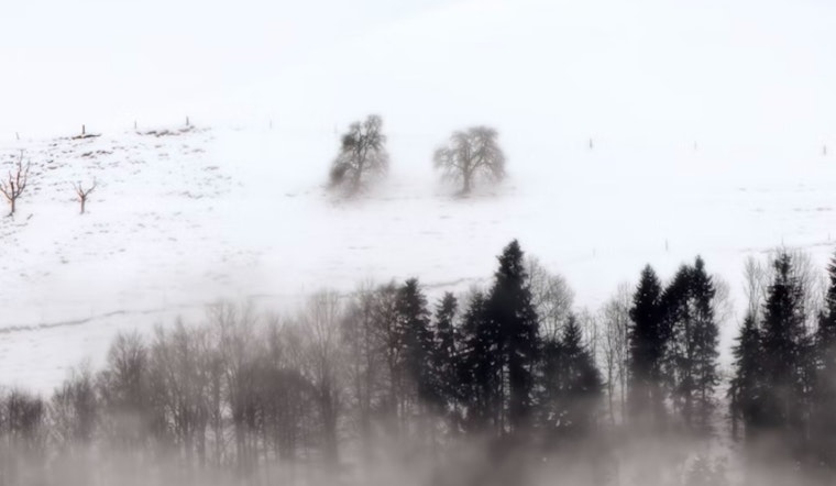
According to the National Weather Service, radar shows snow showers south of Interstate 80, with an expected accumulation of 2 to 8 inches of snow moving further south over the Sierra. A Winter Storm Warning remains in effect until noon today. A dense fog advisory is in place for Redding, affecting visibility since 1:30 AM, with a 30-50% chance of fog in the Northern and Central Sacramento Valley, especially along Interstate 5.
As precipitation ends later today, temperatures are expected to drop, with valley morning lows in the upper 20s to mid-30s on Saturday. Saturday morning will likely be the coldest, with a 40-75% chance of temperatures dropping below 32°F in the Valley from Saturday through Monday. The National Weather Service recommends taking steps to protect people, pets, pipes, and plants from the cold.
Breezy north winds are expected to develop from Saturday night through Monday afternoon along the western side of the Valley, with peak gusts between 15 to 30 MPH. Winds will be strongest Sunday late morning to early afternoon. Cold temperatures will continue into Tuesday, with another weather system arriving mid-week, bringing rain, snow, and potential travel impacts from Wednesday to Friday.
For aviation, scattered precipitation may cause MVFR/IFR conditions in the Sierra mountains and foothills until 14Z today. Fog and low stratus are expected to lead to MVFR/IFR/LIFR conditions in the northern and central Sacramento Valley until 20Z today. Gusty southwest winds will persist in parts of the Southern Sacramento and Northern San Joaquin valleys, gradually declining over the next 24 hours.


