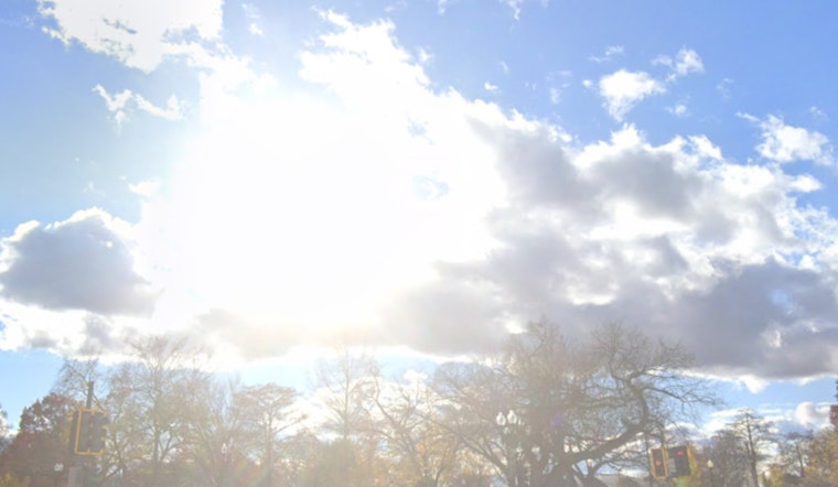
Dense fog affected Sacramento commuters along Interstate 5 this morning, with patchy Valley fog. The fog was expected to clear after sunrise, followed by north to east winds reaching up to 25 mph in the Valley and Sierra, increasing to 15 to 30 mph during the day before easing by Friday evening. Dry weather is expected to continue into the weekend, with warmer-than-average temperatures. On Sunday, "a few showers over Shasta County will be possible," with minimal impacts expected, as reported by the National Weather Service.
The weather next week is expected to remain warm, with daytime highs ranging from the mid-60s to mid-70s across different elevations. According to the National Weather Service, there is a "55 to 80 percent probability of high temperatures exceeding 70 degrees F throughout the lower elevations over the extended forecast period."
Interior Northern California may experience MVFR or local IFR conditions this morning due to fog or low ceilings, expected to clear by midmorning, resulting in VFR conditions. Pilots should note the "north to east wind gusts up to 15 to 25 kts after 12z Thursday," particularly along the west side of the Sacramento Valley and in mountainous regions. Currently, no weather alerts are in effect, as stated by the National Weather Service.


