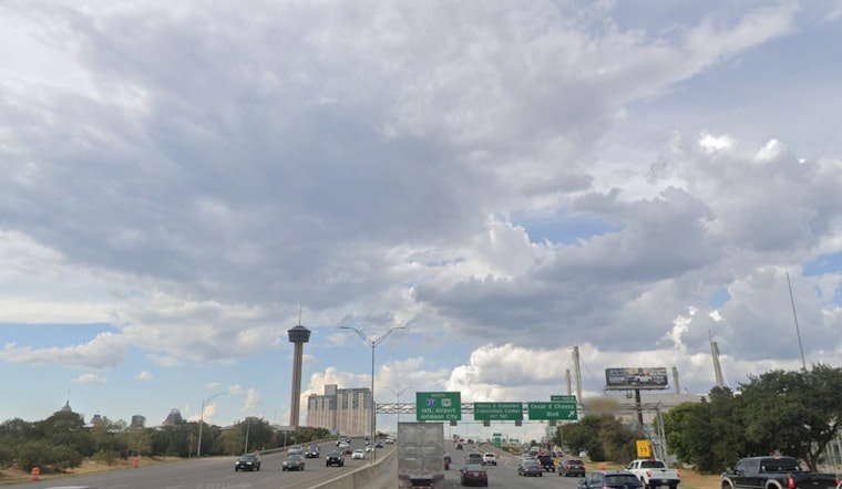
The City of San Antonio can expect to see mostly cloudy skies today with a high nearing 69 degrees, according to the National Weather Service. The northeast wind is not giving us a break either; it's blowing around 15 mph, and we might see gusts as strong as 25 mph. Humidity is hanging at 60%, making the 62°F feel a bit more biting; that's your San Antonio overcast day in a nutshell.
Heading into tonight, the cloud cover persists, and temperatures are expected to dip to around 51, with the north-northeast wind dropping to a gentler 5 to 10 mph, though it could still produce gusts up to 20 mph. The shift from day to night presents that familiar, if not unwelcome, dance of temperatures we regularly experience, likely clearing up as we head into tomorrow. The National Weather Service forecasts a sunny high of 75 and calming northeast winds for the end of our workweek.
San Antonians can look forward to a mostly clear Friday night with a mild 52 degrees for the low, and then comes an even warmer Saturday, the thermometers are expected to climb picking up a high near the 80s. Although it'll be calm in the morning, an east southeast wind at 5 mph could waft through by the afternoon.
It's a similar story for Saturday night; skies will stay mostly clear with a slightly higher low around 56. On Sunday, some clouds will mix with the familiar Texas sun in San Antonio, with a high in the upper seventies. The south-southeast wind will remain at 5 to 10 mph, with possible gusts up to 20 mph. The start of next week continues the mostly cloudy trend but brings a spike in heat, with Monday's high pushing into the low 80s. The night may even introduce a 20 percent chance of showers and thunderstorms after midnight.


