Weather forecasts may not typically ignite the reader's adrenaline, but Clevelanders might want to pay attention to this one. The National Weather Service in Cleveland has laid out the latest meteorological tea leaves and it's a bit of an atmospheric roller coaster for Ohio. A front, currently lounging over the Ohio River, is expected to work its way north today, and will fluctuate north and south across Ohio through Thursday night, making a final appearance as a warm front on Friday.
The Ohio Valley is due for a dramatic split personality when it comes to temperature. If you're north of the wishy-washy front, expect upper 40s to lower 50s; if you're south, your fortunes flip to the 60s. Clouds sneaking in around 700mb will join the soiree, carrying with them the chance of some meager showers—particularly in Northwest PA. The precipitation outlook is sparse, given the dry air closer to the ground. The National Weather Service says, "This slight amount of isentropic lift could allow for some spotty showers in Northwest PA this afternoon and evening, but overall total QPF is minimal, especially given the dry lowest layer of the atmosphere."
As we proceed through the workweek, if your Thursday looked chilly, brace for more of the same. The lake effect is expected to shackle temperatures along the shoreline with highs in the upper 40s to mid 50s, while everywhere else might feel a bit springier in the 60s. The National Weather Service adds, "The front will retreat back south tonight and clouds will dissipate allowing for lows in the 30s again."
Looking ahead to the weekend, subtlety goes out the window. With "a strong low pressure system" set to whisk through the western Great Lakes, temperatures are heading to the upper 60s to mid 70s in some places on Friday. Winds are expected to kick up considerably. "Our regional surface winds should gust up to 20-30 mph on Friday, especially during the late morning through afternoon," according to the National Weather Service. Come Saturday, prepare for heavy rain and the chance of thunderstorms that could bring damaging wind. As for the wind, it's no fleeting guest; gusts might roar to 40, maybe even 50 mph.
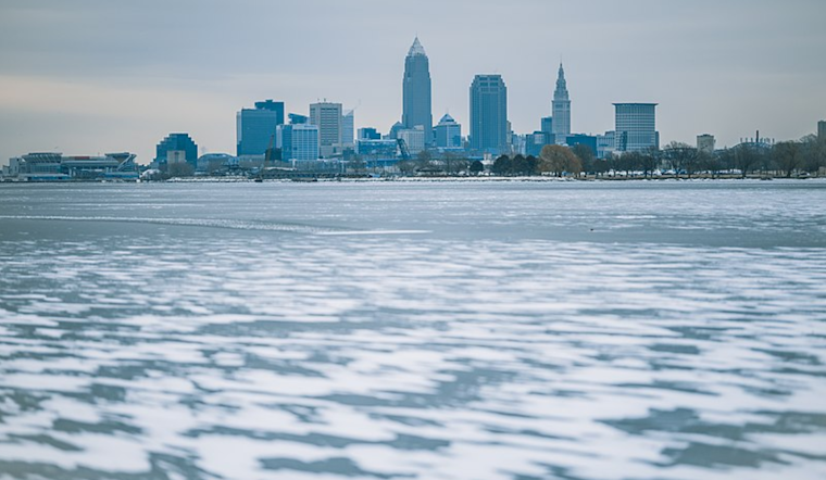
Mariners should also take heed—a Small Craft Advisory is in effect from The Islands to Geneva-on-the-Lake. Winds and waves on Lake Erie are anticipated to kick up a fuss, causing extra headaches as melting ice on the lake begins to break apart and roam untethered. It's a gentle reminder from nature that even as winter's grip loosens, its effects can persist unexpectedly.


.jpg)