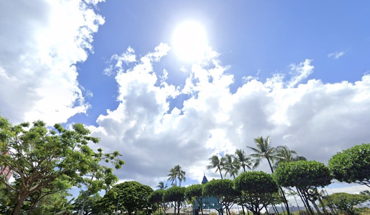
Expect breezy conditions to persist in Honolulu today, with the National Weather Service predicting winds will start winding down from Thursday onward. According to the latest weather forecast, the islands will see a stable atmosphere with limited showers, primarily targeting windward slopes during nighttime and early mornings.
As per the NWS, scattered showers have been moving over windward mountain areas, expected to subside after the morning hours. Interactive radar imagery from local doppler stations shows this precipitation pattern, indicating an active trade wind flow. Winds are expected to decrease over the weekend, potentially allowing for sea breezes and light cloud formations as winds shift to a more southeasterly direction.
An upper-level low is forecasted to enhance shower activity from Saturday into early next week across Hawaii. This system will emerge from the northwest, potentially stalling near Kauai and contributing to unsettled weather patterns, especially for the western islands. It's worth noting that the chances for enhanced showers on the Big Island's eastern and southeastern slopes may increase during this period.
For aviation interests, current conditions warrant caution as high pressure north of the islands has been generating breezy to strong trade winds. As a result, an AIRMET Tango is in effect, advising of moderate turbulence in the lee of the mountains. This AIRMET is expected to remain in effect for the next few days. Additionally, AIRMET Sierra has issued a warning for mountain obscuration in certain windward areas, expected to continue through the morning.
In marine news, a strong high pressure system far north of the state has prompted a Small Craft Advisory for all Hawaiian waters until this evening. The advisory is in effect due to strong trade winds and elevated seas, which may create challenges for seafarers. A north-northwest swell is expected to peak this afternoon, though it will remain below High Surf Advisory levels. East-facing shores will continue to experience rough waters due to the ongoing trade winds.
Residents and visitors are urged to stay informed as the wind advisory remains in effect until 6 p.m. HST for parts of Maui County and the Big Island. For now, Hawaii can expect a breezy day, with changes anticipated as the weekend approaches.


