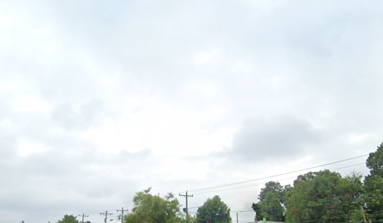
The National Weather Service in Charlotte, NC has issued a weather forecast for the region, warning residents of potentially hazardous conditions. According to the forecast by the National Weather Service, today's weather is expected to be mostly cloudy, with a high near 67 degrees. South southeast winds will range from 5 to 10 mph, with gusts reaching up to 21 mph. However, tonight could see showers, primarily after 5 a.m., with a 60% chance of precipitation and possible rainfall accumulations of a tenth to a quarter of an inch.
As we look forward to tomorrow, the forecast is less promising; showers and possibly a thunderstorm are on the agenda before 1 p.m., followed by a slight chance of showers into the afternoon and then another slight possibility of showers and thunderstorms after 3 p.m.—and, some of these storms might produce heavy rainfall. The conditions are expected to be breezy, with a high near 70, early patchy fog, and new rainfall amounts between a half and three quarters of an inch potentially. The NWS has stressed the increased risk of fire danger through this evening due to the combination of higher temperatures and stronger winds during the afternoon and early evening hours, coinciding with the lack of expected rainfall during the peak warmth of the day; the notice was issued in coordination with forestry officials to emphasize awareness and caution.
The outlook, extending into the weekend, suggests a temporary respite with sunny skies and highs near 52 degrees on Thursday, followed by partly cloudy conditions and lows around 35 degrees on Thursday night. The weather is expected to warm again with a high near 60 on Friday and then reaching approximately 70 degrees by Saturday. However, the tranquility may be short-lived as there's a 40% chance of showers Saturday night, which could potentially continue sporadically into the early part of next week.
Adding to the concerns, the National Weather Service has also released a Hazardous Weather Outlook for northeast Georgia, the western Piedmont and foothills of North Carolina, and Upstate South Carolina, notably for regions such as Stephens, Franklin, Hart, and Elbert as well as Alexander, Iredell, and Davie, among others. The forecast warns of gusty winds, heavy rain, and the development of a line of thunderstorms that may produce damaging straight-line winds—and there is also the possibility of isolated tornadoes, especially across the Piedmont area. Very gusty winds are predicted to spread over the region and persist into Thursday, which might necessitate a Wind Advisory if current forecast trends continue. Furthermore, the South Carolina Forestry Commission has imposed an outdoor burning ban that remains in effect until further notice, prohibiting all outdoor burning, including yard debris burning, campfires, and prescribed burning in all unincorporated areas.
Residents and travelers in the affected areas are advised to stay informed of the latest weather updates and take precautions as necessary. For more detailed information on the weather and the hazardous outlook, visit the National Weather Service website.


