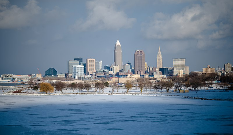
Residents in Cleveland should brace for a mixed bag of weather, as the National Weather Service forecasts an active pattern over the next few days. According to the latest update, a cold front is set to move through the area today, followed by a brief spot of high pressure on Friday and a series of low-pressure troughs to shake things up into early next week.
The forecast from the National Weather Service Cleveland office calls for moderate rain showers to pivot east this morning, with conditions drying up by mid-morning. However, rain is anticipated to return later in the morning and early afternoon after a strong cold front pushing east. "Precipitation will develop along and behind the cold front," the National Weather Service notes, and as temperatures fall, a rain/snow mix, and eventually all snow by Thursday evening, is expected.
For snow lovers, accumulations should be less than 1 inch for the most part. However, Northeast Ohio and Northwest Pennsylvania might see up to 2 inches due to lake enhancement effects, particularly in interior regions. On Friday, the area should experience a calmer weather window with high pressure, bringing temperatures in the low to mid-50s and plenty of sunshine.
However, don't put away those winter wardrobes just yet. The weekend weather promises to be less than settled. The National Weather Service is warning of "an active weather pattern ... as a series of troughs cross the northern United States and Great Lakes Region." A new cold front is forecast to push through on Saturday, causing temperatures to potentially not only dip but transition to snow in some areas during the afternoon before tapering off. According to the forecast, high pressure won't linger for long, with rain likely to spread across the region Sunday afternoon into Monday due to another approaching system.
For those heading out onto Lake Erie, there's a Small Craft Advisory in effect until Friday morning due to southwesterly winds veering northwesterly and waves reaching heights of 4 to 8 feet. The marine forecast indicates conditions will improve on Friday, but those venturing out later in the weekend must stay alert as more advisories could be on the horizon. The pattern continues into next week with cooler temperatures on the cards and a chance of showers, so it might be safest to keep that umbrella at hand for any weather Cleveland throws our way.


.jpg)