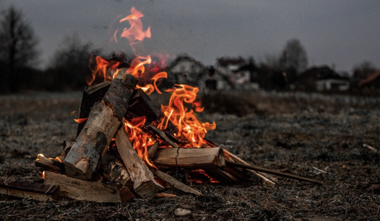
The National Weather Service has issued an advisory highlighting increased fire danger across the Carolinas and parts of northeast Georgia. With conditions ripe for potential wildfires, authorities urge extreme caution. "Thursday afternoon will again be very dry, with minimum relative humidity in the 15-20% range across most of the region," the Special Weather Statement elaborated. The combination of low humidity, mild wind gusts up to 15 mph, and dry terrain sets the stage for heightened fire risks.
Following the advisory, a statewide burn ban has been put in place in both North Carolina and South Carolina until further notice. Georgia residents are advised to consult their local burn-permitting authorities before considering any outdoor burning. "If you do burn, exercise extreme caution," warns the National Weather Service in the special weather report. Despite winds not expected to be as strong, the current dry conditions and ongoing wildfires maintain a precarious environmental balancing act.
The Charlotte, NC area can expect sunny days ahead, with today's weather soaring to a comfortable high of nearly 69 degrees, as calm winds from the southwest pick up this afternoon. However, weather patterns over the upcoming days include potentially severe thunderstorms by Monday after a weekend that predicts a mix of mostly cloudy skies and a 30 percent chance of showers come Saturday night, as per the NWS forecast.
Looking further into next week's forecast, a cold front is projected to bring more precipitation and the possibility of scattered thunderstorms, with Monday anticipated to have a high chance of rain. "Some of the storms could become severe with damaging winds and large hail the main threats," as noted in the Hazardous Weather Outlook. Residents and visitors alike are encouraged to stay informed through NOAA Weather Radio or the National Weather Service website for updates and safety guidelines.


