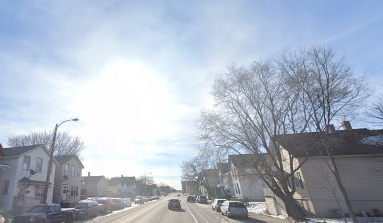
Las Vegas residents can expect gusty winds to continue today, trailing off a weather system that has already moved through the region, according to the National Weather Service Las Vegas. The advisory indicates winds persisting into Wednesday along the Colorado River Valley, with the weather outlook showing a return to near-normal temperatures by Friday and a considerable warm-up expected next week.
The recent cold front has already brought a mix of gusty winds and light showers, with a chance of snowfall in the Spring Mountains. Winds are expected to gradually decrease through this afternoon and evening. "A brief burst of 1-3 inches of snow will also be possible in the Spring Mountains as well," cites the National Weather Service. While winds in the Owens Valley should subside by this morning, other areas will continue to experience stronger gusts through the early hours.
Today will be cooler, with temperatures rising slightly on Thursday. A small weather system moving through the northern Great Basin on Thursday might bring some high clouds and mountain breezes. From Friday to Monday, expect above-normal temperatures, with a chance of moderate heat, especially in desert valleys like Death Valley, as per the National Weather Service.
Pilots flying into the region should be prepared for gusty northwest winds, especially early in the afternoon, with the chances of gusts reaching 35 knots, as detailed by the aviation sector of the forecast. "Northwest winds gusting at times to near 30 knots can be expected into early afternoon," the National Weather Service reports. While Harry Reid International Airport anticipates VFR conditions and clearing skies, variations in wind direction and speed are likely at different sites across Southern Nevada, Northwest Arizona, and Southeast California. All areas will see improved VFR conditions from this afternoon onward.
Additionally, the National Weather Service is encouraging spotters to report any significant weather or impacts as usual. As this dynamic weather system exits eastward, residents and travelers alike should stay updated and be ready for the shifting conditions.


