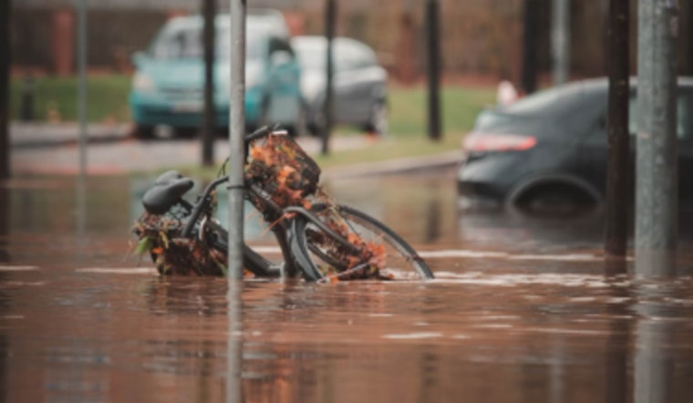
Los Angeles residents are bracing for a wet stretch as the National Weather Service has issued a Flood Watch effective from March 12, 6:00 PM PDT until March 13, 6:00 PM PDT, cautioning against flash flooding and debris flows triggered by excessive rainfall, particularly in areas with recent burn scars. As reported by the National Weather Service, today's forecast predicts a high near 56 degrees with showers, possibly a thunderstorm before 11 am, and gusty winds reaching up to 30 mph.
According to the NWS Flood Watch, "Peak rates of 0.5 to 0.75 inch/hr are possible, with a 10 to 20 percent chance rates of 1.0+ inch/hr." This could be due to thunderstorms or heavy showers moving into the evening, with the concern being especially high in the Los Angeles and Ventura counties below 5,000 to 6,000 feet and along the Santa Barbara County South Coast, including the Santa Ynez Range.
The inclement weather doesn't end there, as the forecast predicts the remainder of the week will be unsettled with additional chances of showers on Friday, and a slight chance of rain again on Monday. After a brief interlude of clearer skies over the weekend, with temperatures climbing back up to the mid-60s.
Residents are advised to stay alert as "Minor flooding, mud slides, rock slides, and debris flows may occur with the most intense activity, especially in and around burn scars," warns a Special Weather Statement from the National Weather Service, which also highlights the potential for hail and gusty winds, and even the small chance of tornadoes, although they would likely be brief and weak if they occur, residents should take shelter indoors if they notice a storm approaching or experience increasing winds.


