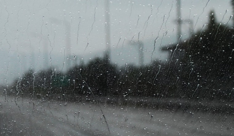
A strong weather system is moving into the Sacramento area today and is expected to remain until Tuesday evening. The forecast includes widespread rain, heavy mountain snow, and breezy southerly winds with gusts reaching 45-50 mph, particularly along and east of I-5. Those in the northern and central Sacramento Valley should prepare for these conditions, as a Wind Advisory is in effect from 10:00 a.m. today until 8:00 a.m. tomorrow. As reported by the National Weather Service in Sacramento, CA, this advisory highlights the potential for hazardous travel conditions and possible power outages due to strong winds and heavy precipitation.
Driving over the Sierra may be best postponed, as a Winter Storm Warning is in effect for elevations above 4,000 feet, starting at 5:00 p.m. today and lasting until 11:00 p.m. Tuesday. Snow accumulations are expected to be significant, with totals that will likely catch skiers' attention. According to the latest NWS briefing, there is an 85-100% probability of snowfall exceeding 12 inches above 5,000 feet in the Sierra and southern Cascades, and a 50-95% probability of snowfall exceeding 24 inches at the same elevation. Meanwhile, in the valleys, there is a slight chance of thunderstorms developing, adding some extra intensity to the storm system. However, the probability remains low, ranging between 10-25%.
Aviation-wise, bring your patience if you're flying out. VFR conditions will be ducking out around 17z this morning, making way for potential MVFR/IFR conditions on the tarmac as the weather system struts in. The NWS predicts "periods of Valley rain, isolated thunderstorms, and lower ceilings" that could make the next 24 hours a tad unreliable for flights. Brace for those southerly wind gusts too—they could reach up to 35 knots and, in the mountains, dare to flirt with 45 knots.
The latter part of the week appears less intense, with a weaker system arriving after Tuesday night. This system is expected to bring only light precipitation, primarily affecting the foothills and mountains. Snow levels will start at 3,000-4,000 feet on Wednesday morning, rising slightly by the evening. However, significant snowfall is unlikely later in the week. According to forecasts, the probability of snowfall exceeding 4 inches through Friday morning is only 10-20% above 4,500 feet in the Sierra and southern Cascades—far from the more impactful conditions expected earlier in the week.
Residents and visitors are advised to monitor the latest weather updates and take necessary precautions, particularly regarding travel and outdoor activities.


