Residents in and around St. Louis braced for a day of turbulent weather today as the National Weather Service in St. Louis issued a series of advisories warning of various weather hazards. According to the NWS forecast, the region expected rain and snow mixed with high winds, creating potentially hazardous conditions. The daytime forecast included rain likely before 10 a.m., followed by a chance of rain and snow between 10 a.m. and 3 p.m., and then a chance of snow after 3 p.m. The temperatures would hover around a high near 41 degrees Fahrenheit, but gusts as high as 45 mph were expected to cause a wind chill factor making it feel considerably colder.
In addition to the weather conditions faced throughout the day, the evening promised no reprieve with cloudy skies early on, clearing later but with low temperatures around 27 degrees Fahrenheit. While winds were expected to decrease after midnight, gusts as high as 41 mph could still occur. The subsequent days showed slight improvements in conditions with Thursday's highs nearing 49 degrees, but the detailed forecast indicated increasing clouds and a 30 percent chance of rain after midnight. The outlook for the end of the week included a mix of sun and rain chances, and temperatures gradually warming up to the 70s by early next week.
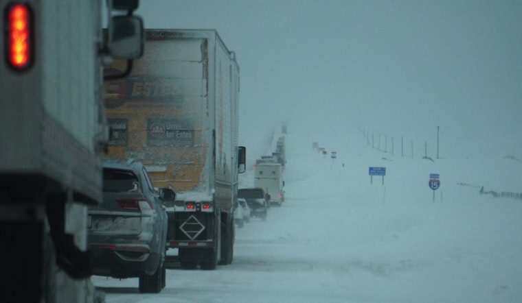
The National Weather Service's Hazardous Weather Outlook highlighted the potential for isolated thunderstorms in the evening across central and southeast Missouri, though severe storms were not anticipated. More pressing was the Winter Weather Advisory in effect from late night through Wednesday morning due to very strong winds and falling snow, particularly impacting central Missouri. The NWS advised that the combination of these elements could result in reduced visibility and treacherous travel conditions during the Wednesday morning commute.
Significantly, a High Wind Warning originally in effect for Wednesday was downgraded to a Wind Advisory. "West winds 20 to 30 mph with gusts up to 50 mph expected," stated the NWS. The advisory covered portions of Illinois and Missouri, and warned that unsecured objects could be blown around while tree limbs could fall and contribute, to a few power outages. Such conditions can challenge drivers, especially those in high-profile vehicles, and the NWS cautioned to exercise extra caution on the roads.


