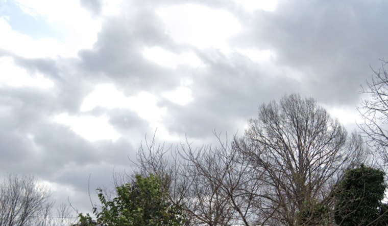
Las Vegas will see gusty north to northwest winds and showers in areas north of the city. Wind advisories remain in effect until 4 PM today, mainly impacting the western Mojave Desert and central Nye County. As the low-pressure system moves out, conditions will clear, and temperatures will rise slightly above normal on Tuesday before the next system arrives, according to the National Weather Service.
A storm system is expected midweek, bringing rain showers and mountain snow. Snow levels will drop from 6,000–6,500 feet to around 4,000 feet, bringing snowfall to higher elevations, as reported by the National Weather Service.
On Friday, the system will move out, bringing drier conditions from the west. Temperatures will return to near normal over the weekend. The National Weather Service warns of "an active parade" of storms in the coming weeks. Aviation forecasts from Harry Reid predict shifting southerly winds, with gusts possibly exceeding 20 knots, while VFR conditions are expected to continue with a chance of showers. The National Weather Service advises weather spotters to report any unusual conditions to assist with forecasts.


