Arlington's Department of Public Works is busy with the latest iteration of the Repetitive Loss Area Analysis (RLAA), a crucial document expected to influence the city's flood management strategies and impact flood insurance rates for locals, as per the requirements of the National Flood Insurance Program's Community Rating System (CRS). The analysis, conducted every five years, is aimed at identifying properties repeatedly damaged by floods and developing solutions to mitigate future flood claims. As the City of Arlington reports, the 2025 version of the RLAA is set to scrutinize insurance policy data from FEMA and incorporate public feedback.
The significance of this analysis is considerable because it can directly affect the bottom line for property owners and taxpayers also, a Repetitive Loss Property (RL) is defined as any insured building with two or more NFIP claims exceeding $1,000 over ten years since 1978, whereas a Severe Repetitive Loss Property (SRL) is one that suffered four or more claims of at least $5,000 each, or at least two claims whose combined value tops the structure's value. The RLAA's methodology includes a meticulous five-step process, involving the evaluation of multiple data points to propose strategies that could lower the number and severity of future flood-related insurance claims.
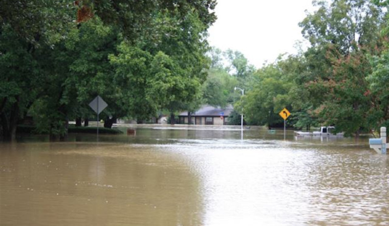
This isn't just a numbers game; flooding in Arlington can come from many sources, not just the designated Special Flood Hazard Areas. Localized flooding, for example, can be the result of less-than-ideal lot grading or clogged drainage systems, and flash flooding is often a product of intense rainfall over a short period. Then there's riverine flooding, which happens when sustained heavy rainfall causes water bodies to breach their banks. For a deep dive into the data collection process that informs the city's anti-flood measures, the City's website lays out how it utilizes questionnaires, tax records, and historic flooding events in assembling the RLAA.


