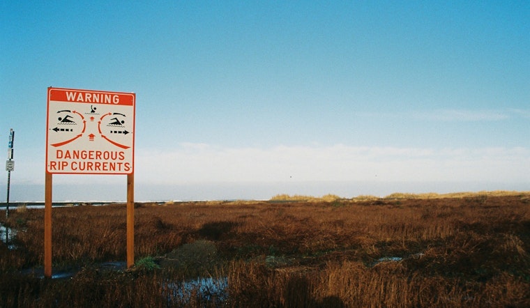
The National Weather Service in Jacksonville has issued a high rip current risk, effective from this morning until late tonight for parts of Northeast Florida's coastline. According to the NWS' report, beachgoers should be alert for "dangerous rip currents expected," specifically in areas including Coastal Nassau, Coastal Duval, Coastal Flagler, Northeast Coastal St. Johns, and Southeast Coastal St. Johns.
The warning urges the public to swim near a lifeguard and provides guidance for those caught in a rip current: "relax and float. Don`t swim against the current. If able, swim in a direction following the shoreline." The statement also advises that if one is unable to escape the rip current, they should face the shore and signal for help. Beyond the rip current warning, Jacksonville is slated for sunny skies with highs gradually increasing from today's 83°F to a balmy 87°F by Friday.
To complement the rip current statement, the forecast from NWS Jacksonville details local weather conditions, which are expected to remain largely fair for the coming week. With humidity levels hovering around 81% early this morning and southeast winds up to 5 mph, residents can expect mild conditions alongside the necessity for caution near the shores. Today's balmy weather is set to peak with gusts as high as 21 mph.
While the warning of rip currents implies a potential danger lurking below the serene façade of the sea, residents and visitors may find solace in the clear skies overhead. Nighttime conditions will remain mostly clear with temperatures gently dipping to the mid-60s. Despite the allure of the beach on these warm spring days, the NWS warning serves as an important reminder to prioritize safety in the face of natural hazards such as rip currents.


