As the rain begins to subside and Pittsburghers look out over waterlogged streets, the National Weather Service in Pittsburgh has extended a Flood Watch through 8 AM this morning, indicating that rivers may rise even as the skies clear. According to their latest area forecast, the cold front drenching the region is on its way out, but not before leaving behind a frigid reminder of its presence with plummeting temperatures and snow showers on the horizon.
A noticeable shift in weather is expected, with the threat of rain dwindling and the mercury taking a nosedive. Temperatures will not rise today, with a large portion of the area seeing highs during the morning hours, the National Weather Service reports. The forecast discusses the possibility of wintry precipitation mixing with rain, particularly north of I-80 in the morning and potentially reaching as far south as Pittsburgh by evening. However, snow accumulation is not anticipated to be an immediate concern for city dwellers, though those to the north might see a light dusting.
The onset of the working week doesn't promise much in the way of a warm embrace as below-normal temperatures continue to grip the region. "Most of Monday will be dry before a cold front, dropping southeast from the Great Lakes, could bring scattered showers to the region late Monday afternoon and night," the National Weather Service detailed. Rain will likely transition to snow come evening time, and minor accumulation is possible during the nighttime hours.
Tuesday and Wednesday are poised to bring some solace with drier conditions and a hint of a warm-up, though temperatures will still linger around 10 degrees below normal. The forecast suggests mid-week dryness as a brief interlude before another system possibly returns rain to the forecast by late week. Residents should anticipate this, as the National Weather Service warns of precipitation chances by late week, potentially muddying plans and commutes yet again.
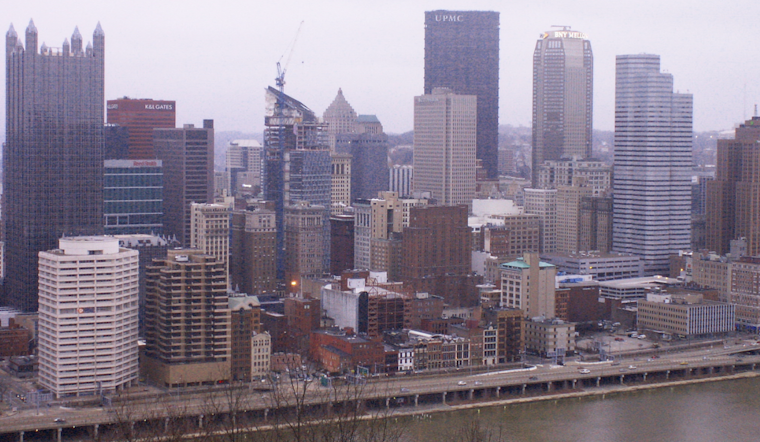
The soggy soil and swollen tributaries might take a while to recede as the heavy rainfall pummeled the region and only gradually tapers off. According to the forecast discussion, rivers are poised to stay high for several days following the downpour, with several river flood warnings already in effect to address expectations of minor flooding. While the heaviest rainfall may have passed, the relics of this drenching episode are set to linger in Pittsburgh's waterways for some time.
The aviation outlook isn't much brighter for those with travel plans or concerns about the weather's impact on transportation. Widespread IFR to LIFR conditions are expected until improvement occurs behind the front's passage. In the meantime, travelers can expect additional challenges with potential wintry mix precipitation later this evening and into tonight. Northerly winds are expected to ease later in the day, transitioning to calm and variable conditions overnight, which should offer some level of predictability for flight paths in the region.


