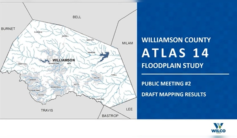
Residents of Williamson County have a vested interest in the ongoing battle against floodwaters, and the upcoming Atlas 14 Floodplain Mapping Study open house presents a crucial opportunity for the community. In an effort to ramp up the fight against severe flooding, which has persistently menaced properties and lives in the county, officials are eager to share the details of their latest strategic plans.
The final public meeting is set up for Thursday, April 17, from 5 p.m. to 7 p.m. at the Georgetown Annex located at 100 Wilco Way, Georgetown, as outlined in a recent announcement by Williamson County. This initiative, which comes after a string of devastating floods, promises to arm citizens with information that could prove critical as they brace for potential future calamities. In addition, Williamson County has joined forces with the Texas Water Development Board to map out flood-prone areas and devise defenses to mitigate potential damage.
From the comfort of Room 226 in the Georgetown Annex, attendees will be able to delve into the findings of the study, thoroughly peruse an interactive flood studies map pinpointing their own properties, and engage directly with the experts responsible for the project. According to the press release from the county's official website, public meeting materials will also become accessible online from April 17, ensuring that the information disseminated will reach even those who cannot make the in-person session.
It is these moments, these meticulous plans borne of necessity, that reinforce the value of proactive community engagement. The upcoming session marks more than just a technical briefing; it's a platform for locals to gather, debate, and chart a collective path toward safety and resilience. The Atlas 14 Study, a bedrock for such efforts, lays out the topography of risk and, perhaps more importantly, where the havens lie, where measures can root and hold against the tides that would otherwise sweep away what countless have worked so hard to build.


