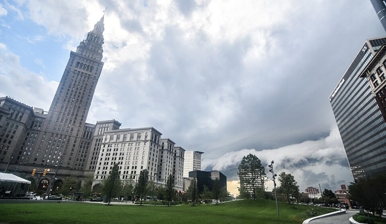
For those hoping for a glimpse of the elusive Cleveland sun, the forecast holds little in the way of agreement. The National Weather Service in Cleveland has laid out a dreary scene, with lingering low pressure and an unwelcome dose of late-spring chills. Rain is on the menu through Friday, with "temperatures... well below normal for late May," according to the NWS report.
Lake Erie's influence won't do residents any favors, either. The lake, refusing to comply with our wishes for warmer days, will stubbornly enhance the rainfall, particularly in Northeast Ohio and Northwest Pennsylvania. Here, highs on Friday may struggle to "exceed 50s," with an overcast of clouds and persistent showers keeping the mood as damp as the streets, the NWS noted.
It's not all doom and gloom, however—the weekend teases some moderation in weather woes. High pressure is attempting to edge its way into the area from the northwest, aiming for Sunday when we might, just might, see those highs tick up into the mid-60s. Yet, the NWS warns, they are still beneath where we'd like them to be for this time of year.
Marine conditions attract their share of attention, too, with a Small Craft Advisory in effect until Friday evening for parts of Lake Erie. Winds are expected to reach up to 25 knots, prompting the NWS to caution against "dangerous rip currents" that, combined with 4-6 feet waves in some places, could prove treacherous. For those contemplating a jaunt on the water, think again, and stay shore-side.
Looking ahead, the weekend's brief reprieve may be just brief. Another low-pressure system seems determined to track across the region early next week, keeping our spring firmly on the chillier side of comfortable. Even as Wednesday dangles the carrot of a 70-degree high, the long-term outlook remains steadfastly pegged below average temperatures, much to the chagrin of Clevelanders longing for more typical spring warmth.


.jpg)