As Denver residents bask under a mostly sunny expanse, the National Weather Service (NWS) forecasts a mild increase in the chance of showers and thunderstorms heading into the weekend. According to the National Weather Service, Denver will see a 20 percent chance of rain and some rumbles of thunder after 3 pm today, with temperatures peaking near a comfortable 79 degrees.
The reprieve from heavy coats comes with a light and variable wind, set to become southeast 5 to 10 mph in the afternoon, and, those winds might as well, gust as high as 16 mph. Heading into the evening, any lingering chance of showers should dissipate by 9 pm, giving way to a mostly clear night and a low around 52 degrees.
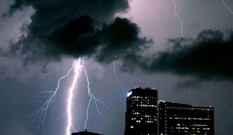
Looking towards the end of the week, Friday promises mostly sunny skies and a high near 87 degrees. The NWS update suggests that the wind will shift from west southwest to north northwest in the afternoon, potentially gusting as high as 21 mph. The weather pattern starts to shift on Saturday with a 40 percent chance of showers and thunderstorms after noon and a predicted high of 79 degrees.
The NWS hazardous weather outlook warns of the potential for stronger storms by Friday, specifically over the eastern plains, and indicates a possibility that storm coverage and intensity will ramp up by the weekend. The outlook extends a caution over higher mountains and along the Wyoming border, where a few gusts might reach up to 40 to 45 mph. Spotters, however, will not be needed today or tonight.
As Sunday approaches, the chances for wet weather heighten with an 80 percent chance of showers and the possibility of a thunderstorm after noon. While Memorial Day celebrations may have to contend with the threat of afternoon showers and thunderstorms, the community will see partly sunny conditions with a high near 69 degrees to kick off the holiday.


