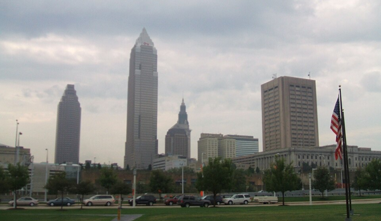
The weather forecast for the Cleveland area, provided by the National Weather Service in Cleveland, indicates some dreary days ahead. According to their discussion, high pressure, which was previously camped over the eastern Great Lakes, will slowly abandon us as a weak low pressure system from the Ohio Valley becomes a bit of an unwelcome guest. This system is predicted to traverse across Ohio on Wednesday before being absorbed by another, more powerful low in the western Great Lakes.
The National Weather Service's update doesn't require any changes to the forecast for this morning, so that's a small grace. However, we're looking at clouds rolling in soon enough as the advance guard of the changing weather system. A statement obtained by the NWS Cleveland confirms, "Expect skies to become mostly overcast from southwest to northeast today." And yet, it's not all gloomy news. The remainder of today should stay fairly dry, and we can anticipate enjoying temperatures peaking in the upper 60s to low 70s.
As night falls, however, so does the forecast's optimism. The incoming surface low from the Ohio Valley is set to crash our party, bringing showers and possible thunderstorms along with it. Clevelanders should brace for this damp interlude, as rain becomes a feature of our night, continuing into Wednesday. The total rainfall isn't expected to be substantial, with most areas seeing under a quarter of an inch, but it will be a damp nuisance nonetheless.
Temperatures are heading south alongside the low pressure system, as well. The NWS Cleveland notes a chillier Wednesday on tap with cloud cover and precipitation keeping the mercury down—highs are forecasted to make the low to mid-60s barely. And for those on Northeast Ohio and Northwest Pennsylvania's turf, it might feel even cooler with potential highs stubbornly clinging to the upper 50s.
While the National Weather Service's synopsis doesn't exactly excite, boaters on Lake Erie have something more to ponder. A report from the NWS Marine section indicates that "Easterly flow will pick up on the lake today," which may not bode well for those planning to take advantage of the waters. Given that winds aren't expected to blast past 20 knots, nor waves to tower over 3 feet, but it could certainly make things less than ideal for your average seafarer.
Looking ahead to the weekend, the forecast remains murky. Uncertainty looms as meteorologists contemplate the fate of our weather systems. The complexity of the upper-level patterns leaves room for debate on whether we'll see a prolonged damp drag or a quick pivot to clearer skies. For now, residents would be wise to keep an umbrella at hand while holding out hope for that quintessential spring sunshine to find its way back to the Great Lakes region.


