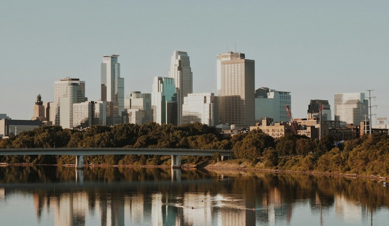
Residents in Minneapolis should brace for a mixed bag of weather this week, with the National Weather Service forecasting partly sunny skies today and high temperatures hovering around the low to mid-80s before a potential shift early next week. According to the latest weather update from the National Weather Service, the area will experience "areas of smoke" starting late tonight, suggesting that air quality might dip due to wildfires in the region.
The upcoming days are expected to continue being warm with sunny skies on Sunday and a high near 89, followed by even hotter conditions on Monday when the mercury could rise to a near 93 degrees; Monday night, however, there's a 50 percent chance of showers and thunderstorms, with the potential for severe weather particularly in western Minnesota – this downshift captures the unpredictable chorus of nature, brushing the city in strokes of warmth before thrusting it under a gavel of thundershowers.
While the summer-like sizzle will lure locals outdoors, "degraded air quality due to wildfire smoke could continue through Saturday," as mentioned in a Hazardous Weather Outlook by the National Weather Service. It’s possible those planning outdoor activities this weekend may need to adjust plans if the air quality worsens.
The forecast into next week notes a chance of showers and thunderstorms through Tuesday, with a 90 percent chance of precipitation and potentially gusty winds reaching up to 25 mph; following the tumult, the city can expect slightly cooler temperatures, with a high near 71 on Wednesday and a lingering 20 percent chance of showers – a literal cool down after the preceding heat and drama in the skies, letting the city breathe once the last rumbles have faded into the distance and the storm clouds retreat again.


