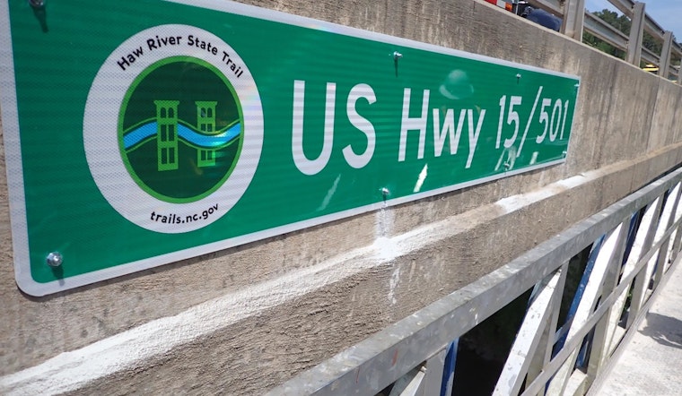
Paddlers traversing the Haw River can now breathe a little easier thanks to new road name signage hanging prominently over several bridges, including Chicken Bridge Rd, Highway 15/501, and Highway 64. The signs are designed to improve navigation and emergency response time for both leisurely river users and those in potential distress. This effort was spearheaded by the Haw River Safety Collaborative (HRSC), a coalition of local county officials, river enthusiasts, emergency managers, and regional planners, as reported by Chatham County News.
The initiative is not only practical but potentially lifesaving, ensuring paddlers know their precise location at any given time which can prove vital in crisis situations. The HRSC, which has held monthly meetings to address river safety concerns, sees these signs as a step toward making the Haw River a safer and more inclusive environment for its many visitors. The group's efforts are complemented by the Duke Energy Foundation Accelerator Grant Program, which provided funding through its Resilient Communities Program.
More than just directional aids, the newly erected signs bear the Haw River State Trail (HRST) logo, indicating their place along this beloved state trail that meanders along with the river. Clear labels on both the up and downriver sides of each bridge help to ensure that they are visible regardless of direction, and additional signs have been placed strategically in areas with obstructed views, such as around river channels flanked by dense island vegetation.
Collaboration was a key element to the success of this initiative, as the North Carolina Department of Transportation (NCDOT) played a significant role by advising on sign design, sizing, and the best practices for placement and installation.


