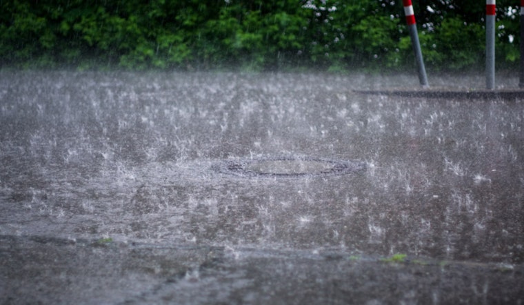
Heavy rainfall is in the forecast for Washington D.C., with the National Weather Service warning of a deluge likely to disrupt daily activities. Detailed weather reports indicate showers and possible thunderstorms developing post-2 pm today, bringing a 100% chance of heavy rainfall and wind gusts reaching 22 mph. The capital is expecting 1 to 2 inches of rain, prompting the National Weather Service to issue a flood advisory. The risk is especially high in urban areas, where water can quickly overwhelm streets and sidewalks.
Tonight, those looking for respite won't find much with showers continuing likely before 11 pm and patchy fog creeping in. The weather outlook doesn't improve much with a 60% chance of precipitation lingering in the air, along with new precipitation amounts totalling less than a tenth of an inch, as detailed by the National Weather Service.
The forecast from the NWS suggests some respite by Thursday. The day will begin under cloudy skies, but sunshine is expected later, with temperatures climbing to around 80 degrees. On Friday, the wet weather returns, with showers and a possible afternoon thunderstorm likely to disrupt an otherwise mild 77-degree day.
Saturday brings a 50% chance of showers, though skies are expected to stay mostly sunny with a comfortable high of 75 degrees. By Saturday night, conditions should clear, leading to dry and mild weather with lows around 53. Sunday continues the pleasant trend with mostly sunny skies and highs near 75, and Monday offers a bright start to the week, with sunshine and temperatures rising toward 80 degrees.
Despite today's impending storms, the Hazardous Weather Outlook released by the National Weather Service ensures residents that aside from the next few days, no significant hazardous weather is expected for the region. The NWS hasn't flagged any immediate need for spotter activation but they have cast a watchful eye towards potential urban flooding.


